FICHE DESCRIPTIVE - RESEAU GPS Corinthe | ||
ordre 1
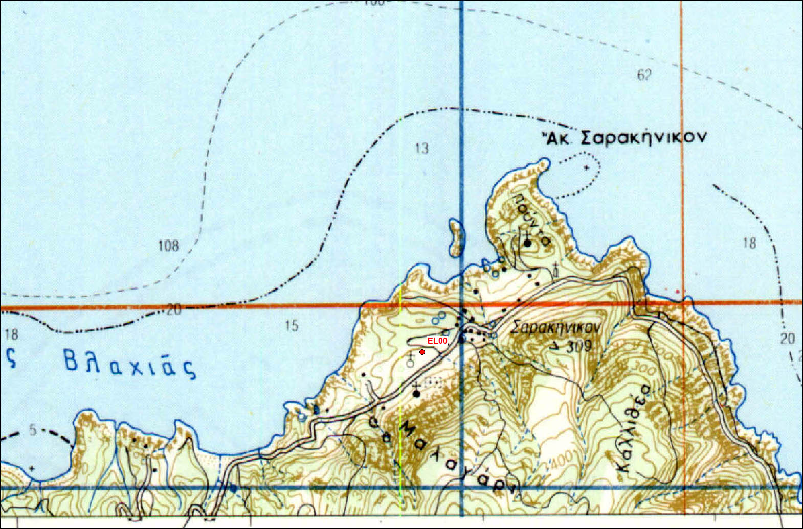
| EL00 | Sarrakiniko | EL00 |
| WGS84 | ||
| 38° 45.48' N | 23° 41.73 E | 99 m |
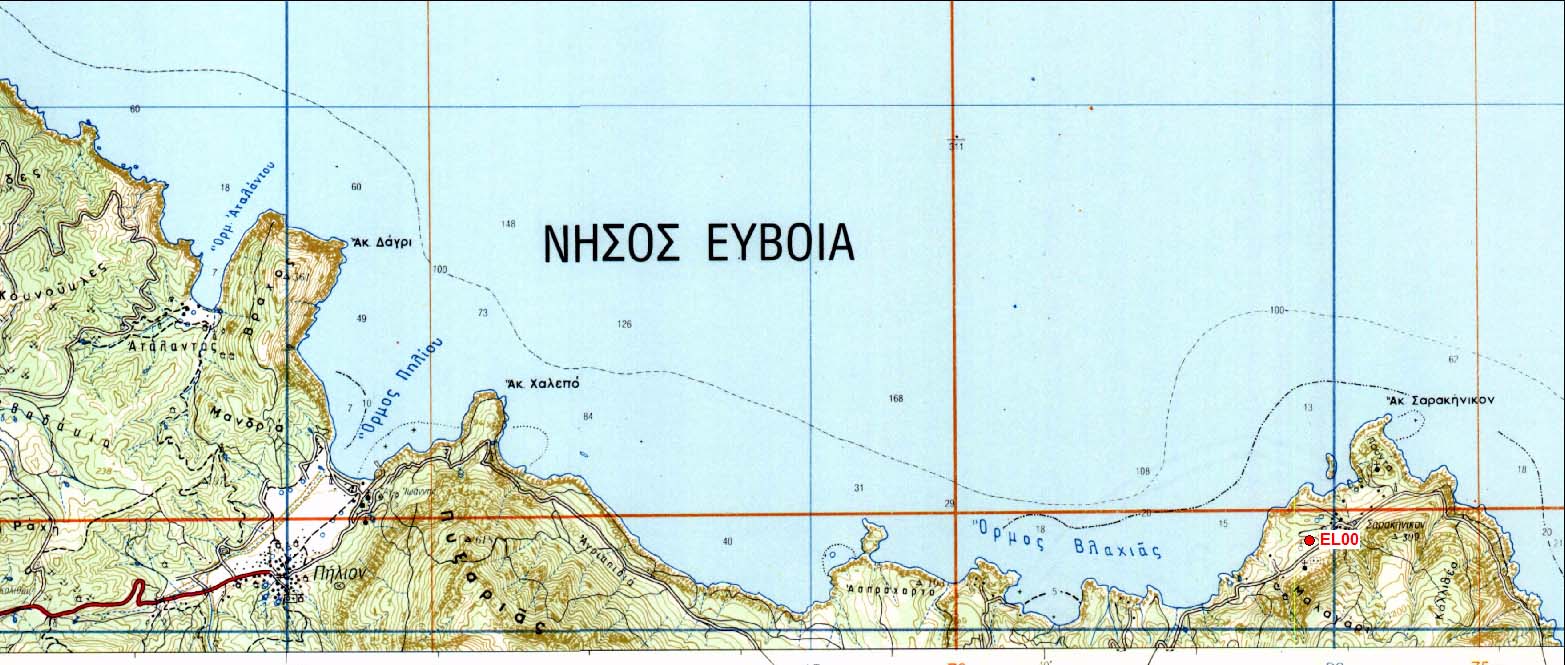
Carte: Pilion 1/50.000
| Point | Azimut et distance | Type de repère | Observations | |
|---|---|---|---|---|
| EL00 | N | m | Repère | |
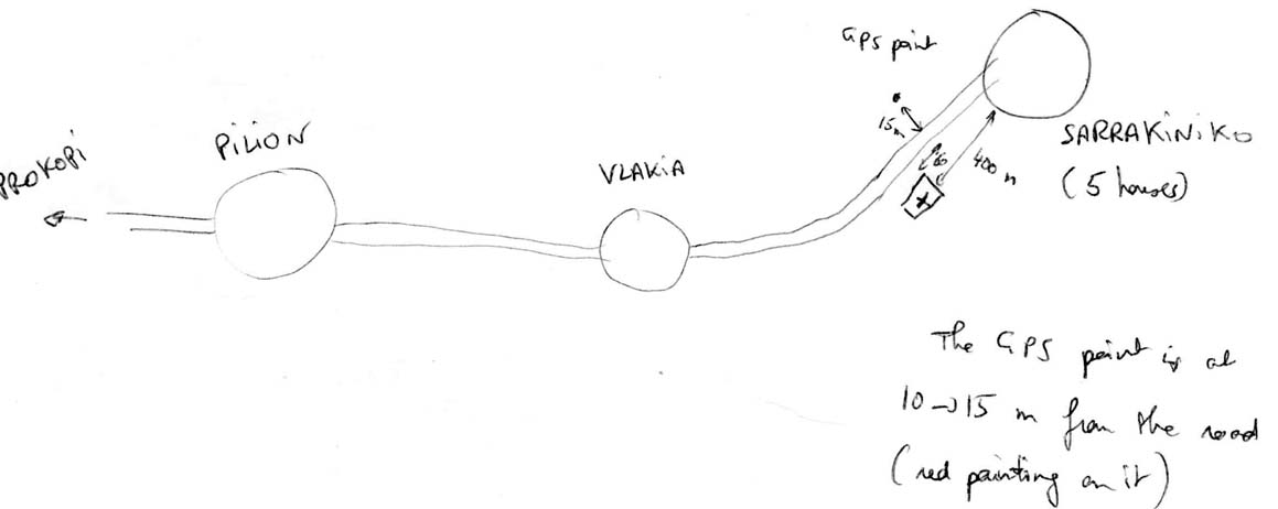
Accès:
From Prokoti take the road to Pilion and continue along the coast to Vlakia. The point is on the left of the road (10-15m), 250m before the small village of Sarrakiniko. Black iron in a large limestone rock. There are no auxillaries. Enjoy the route to get thear. Travel time 45mn (~30 km) from Prokopi.
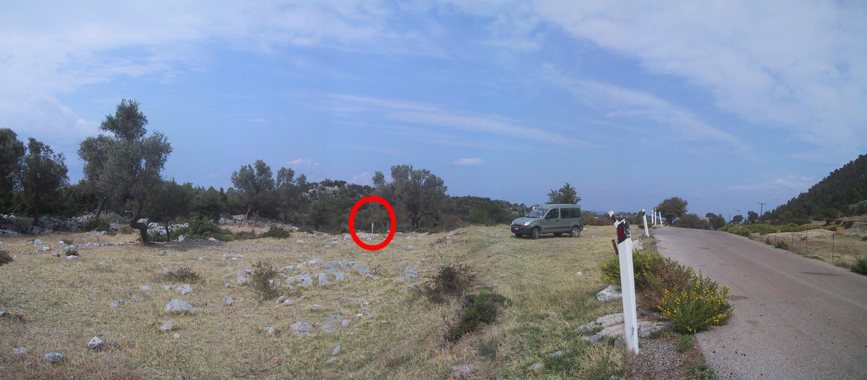 |
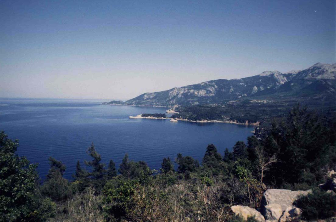
| Vue vers le Sud |
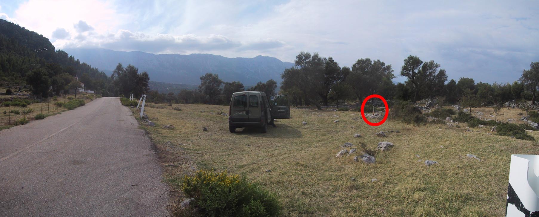 |
| Vue vers le Nord |
 |
 |
 |
 |
Contacts:
Historique:
Reconnaissance au début de la campagne d'Octobre 1997 (Briole)

Mesures 1997:
1997/10/06 16:03-23:59 0.984 IN17 Renard?
1997/10/07 00:00-22:56 0.984 IN17
1997/10/09 06:25-23:59 0.905 IN17
1997/10/10 00:00-04:35 0.905 IN17
1997/10/10 06:21-23:59 0.905 IN17
1997/10/11 00:00-04:59 0.905 IN17
Fichiers RINEX disponibles: