FICHE DESCRIPTIVE - RESEAU GPS Corinthe | ||
ordre 1
| EO00 | Polilofos | 125-010 |
| WGS84 | ||
| 38° 51' 27'' N | 23° 06' 01'' E | 562 m |
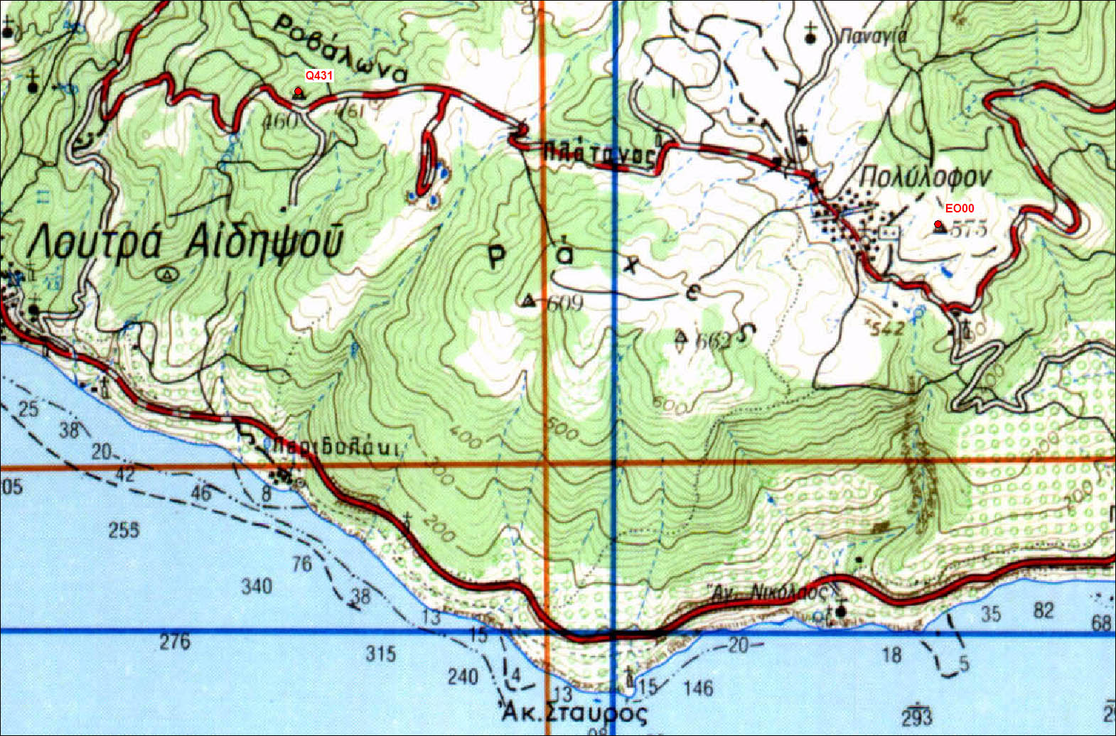
Carte: Istiaia 1/50.000
| Point | Azimut et distance | Type de repère | Observations | |
|---|---|---|---|---|
| 125-010 | N | m | Pilier | |
| 125-001 | N | m | Pilier | Q115 - Rovies - Stabilité très douteuse |
| 125-014 | N | m | Pilier | Q431 - Rovalona |
| 125-018 | N | m | Pilier | Q761 - Simia |
| 125-038 | N | m | Pilier | Q038 - Agios2 |
| 125-040 | N | m | Pilier | Q088 - Agios |
| 125-041 | N | m | Pilier | Q039 - Nea Sinasos |
| 125-062 | N | m | Pilier | Q027 - Istiaia |
| 125-xxx | N | m | Pilier | Q144 - Taxiarhis |
Accès:
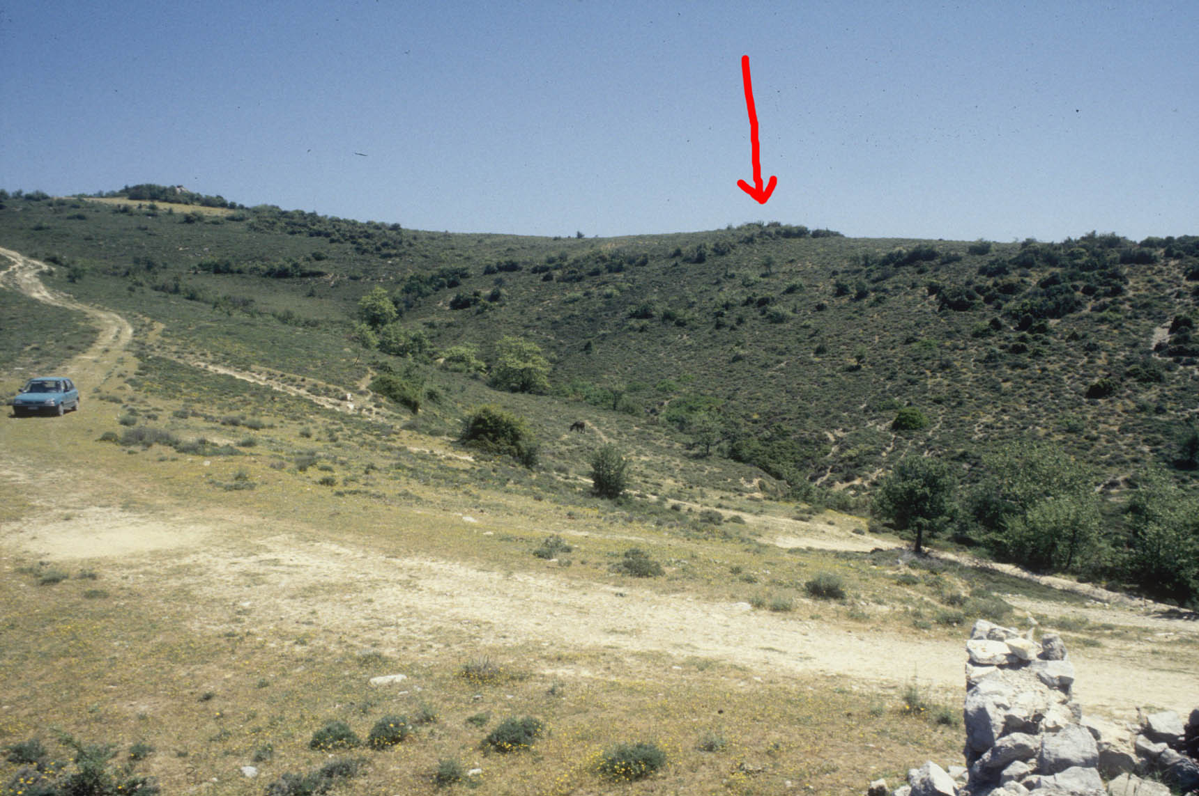
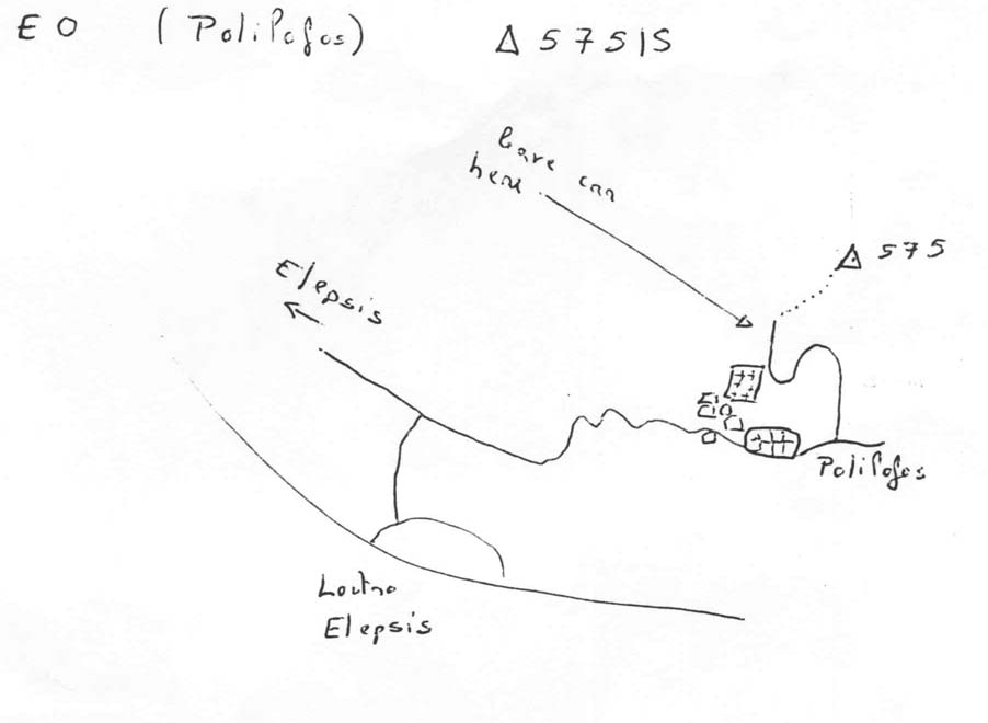
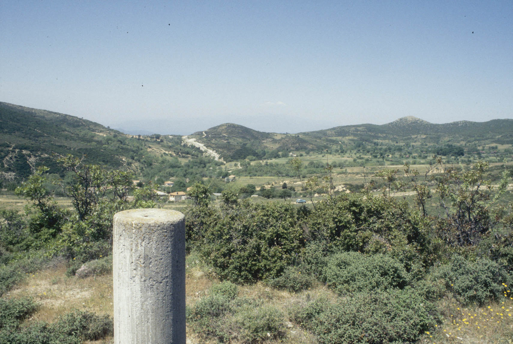
Go to the village called Polilofo. Take the direction of the St. John church. From the church go to the cimitery along a very steep road. After 200m you reach the cimitery. From the cimitery proceed along the ground road which goes toward NE and park the car after ~350m. The point is on the hill on the South, just 100m upside. Hauteur du pilier par rapport au repere situe à la base du pilier : 1.098m
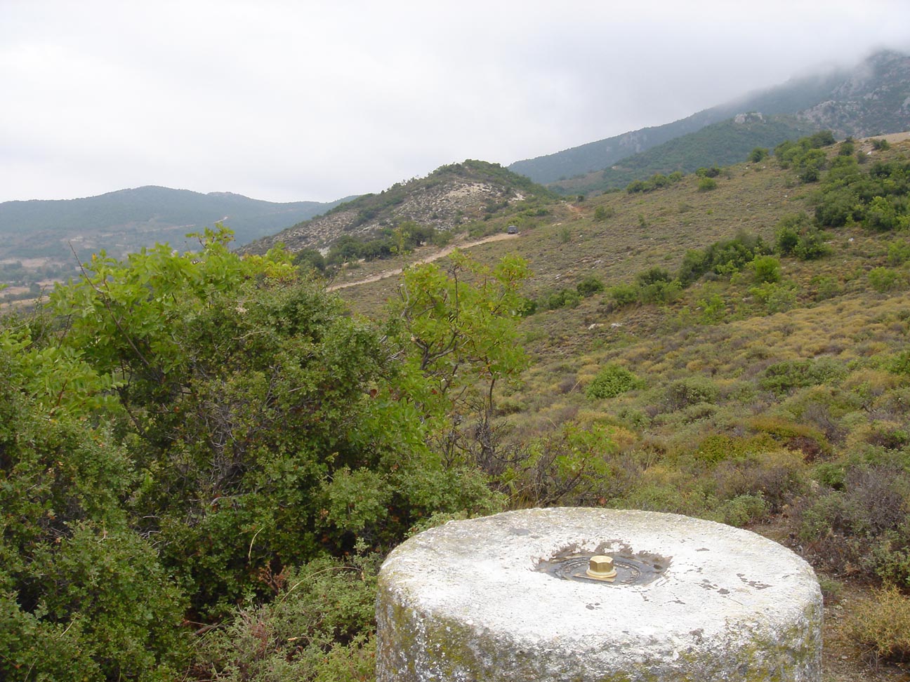 |
| Photo S. Felekis 4/10/04 |
 |
 |
| 9 Mai 1996 |
 |
 |
| 9 Mai 1996 |
 |
Contacts:
Historique:
Reconnaissance le 9/5/96 (Billiris, Papazissi, Briole)
Mesures 1997
Mesures 1997
1997/10/02 11:08-14:49 0.139 NTU2 Equipe NTUA Trimble
1997/10/02 14:59-23:59 0.274 IN16 Renard
1997/10/03 00:00-23:59 0.274 IN16 Renard
1997/10/04 00:00-23:59 0.274 IN16 Renard
1997/10/05 00:00-23:59 0.274 IN16
1997/10/06 00:00-02:48 0.274 IN16
Installation du centrage forcé le 4 Octobre 2004
Fichiers RINEX disponibles: