FICHE DESCRIPTIVE - RESEAU GPS Corinthe | ||
ordre 1
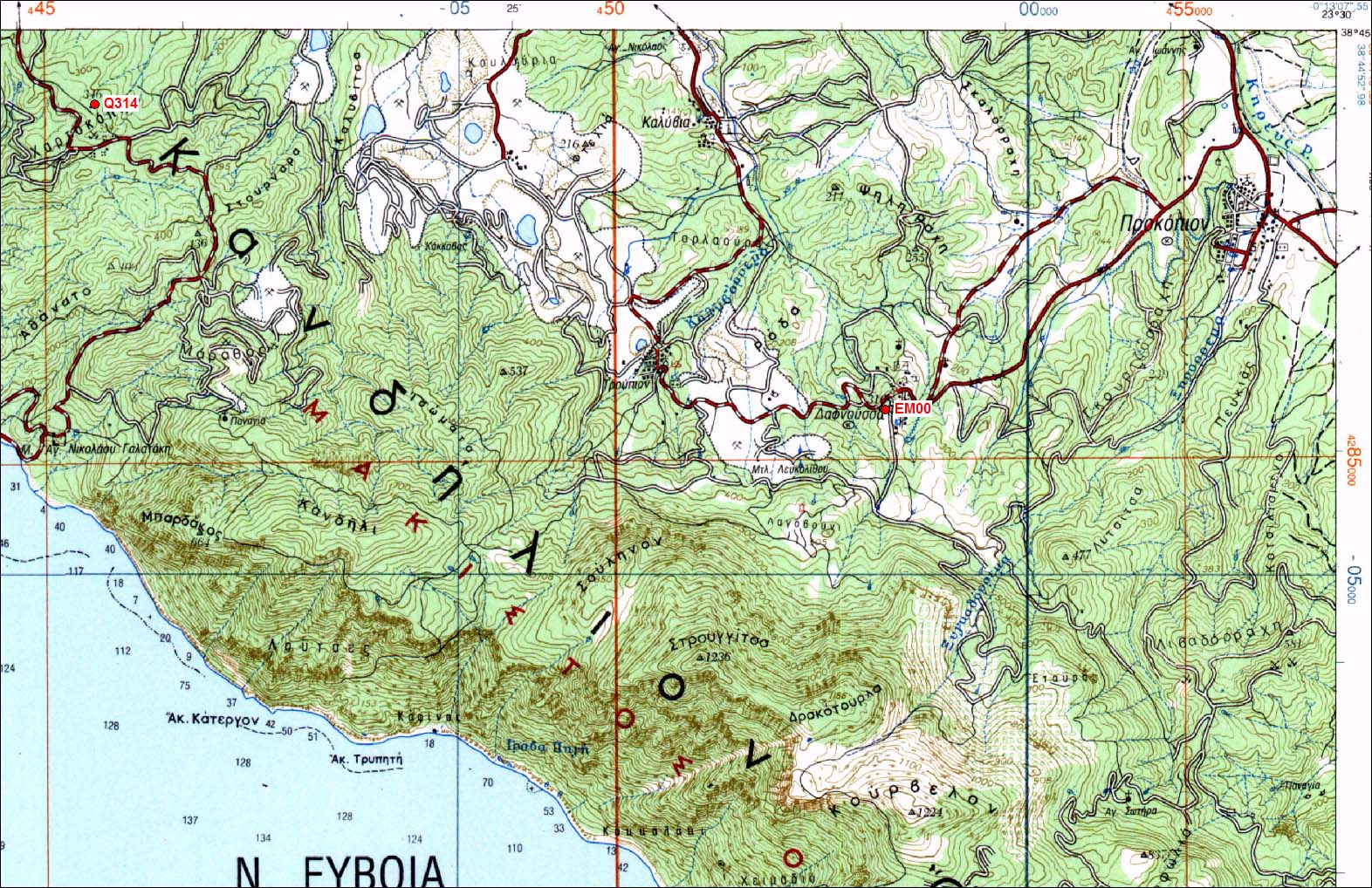
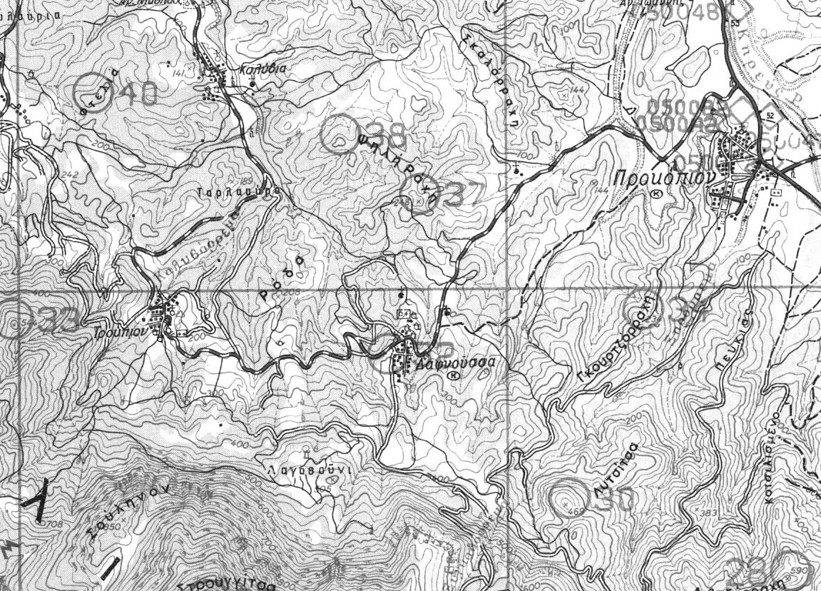
| EM00 | Dafnoussa | EM00 |
| WGS84 | ||
| 38° 43' 08'' N | 23° 27' 13'' E | 310 m |
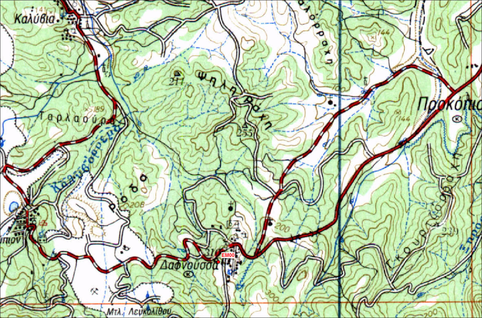
Carte: Larimna 1/50.000
| Point | Azimut et distance | Type de repère | Observations | |
|---|---|---|---|---|
| EM00 | N | m | Pilier | |
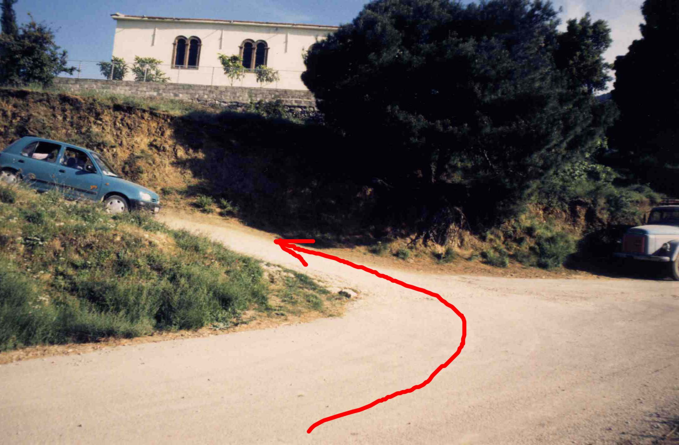
Accès:
Hauteur du pilier 1.100m
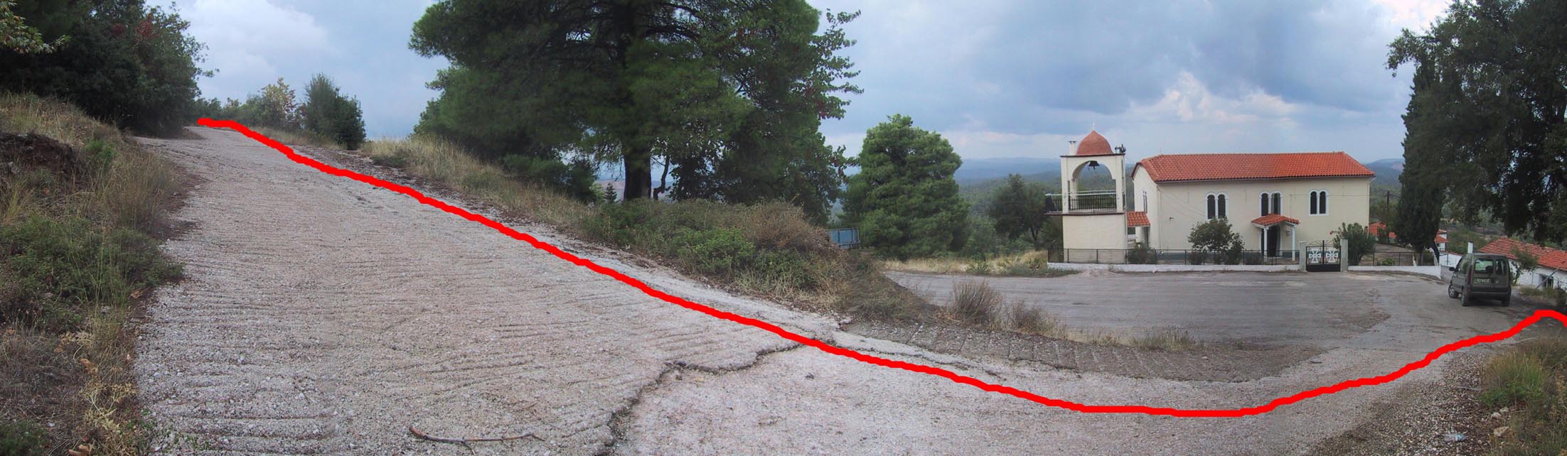
Get to Dafnousa. Towards the end of the village church on the left. 0.0 km Turn left on the road just before the church. Continue where this road leads ignoring small road on the left. 0.25 km Pillar on the right. Drilled. Watch out there are goats around.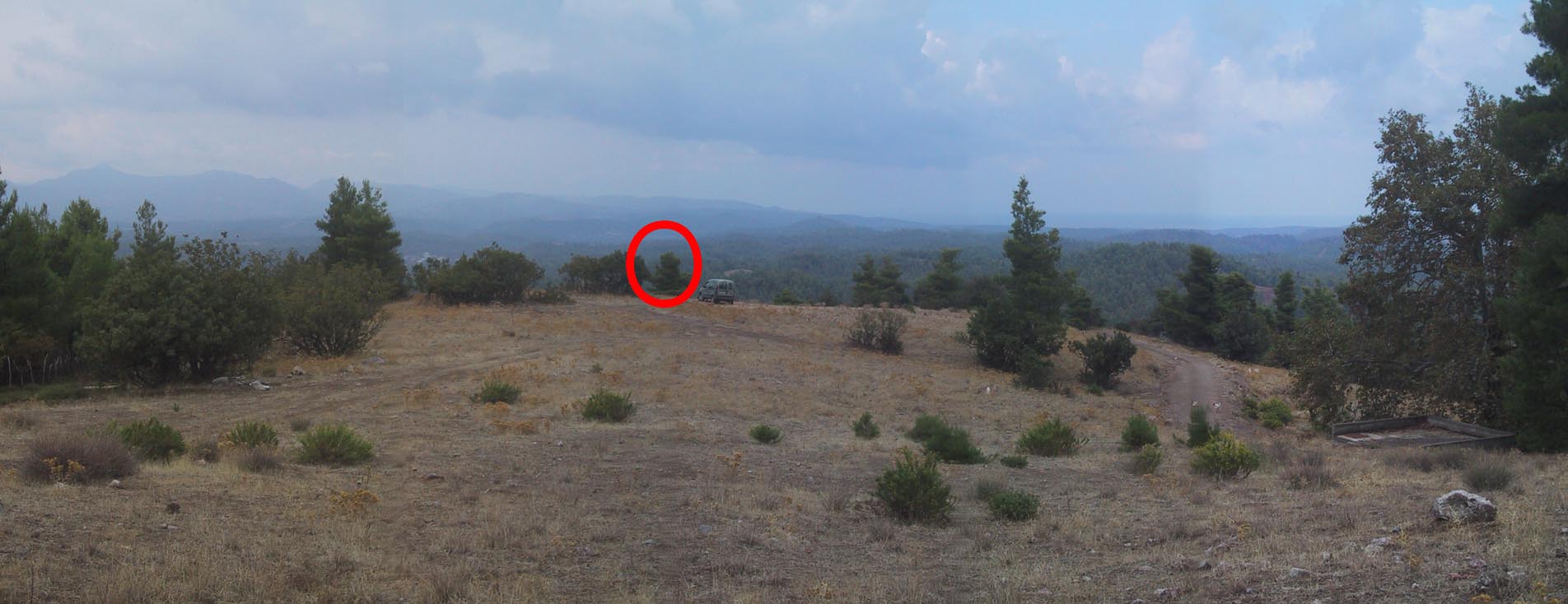 |
| Octobre 2004 |
 |
| Accès |
 |
 |
 |
| Accès en Mai 1996 |
 |
Contacts:
Historique:
Reconnaissance le 8 Mai 1996 (Billiris, Papazissi, Briole)

Mesures 1997:
1997/09/30 11:09-23:59 0.161 IN17 Renard/Spiros
1997/10/01 00:00-06:30 0.161 IN17
1997/10/01 15:48-23:59 0.164 IN17
1997/10/02 00:00-05:49 0.164 IN17
1997/10/04 10:45-15:00 0.145 NTU3 Trimble Equipe NTUA
1997/10/08 05:29-23:59 0.159 IN17
1997/10/09 00:00-03:55 0.159 IN17
1997/10/09 06:21-23:59 0.192 IN16
1997/10/09 00:00-03:59 0.192 IN16
Fichiers RINEX disponibles: