FICHE DESCRIPTIVE - RESEAU GPS Corinthe | ||
ordre 1
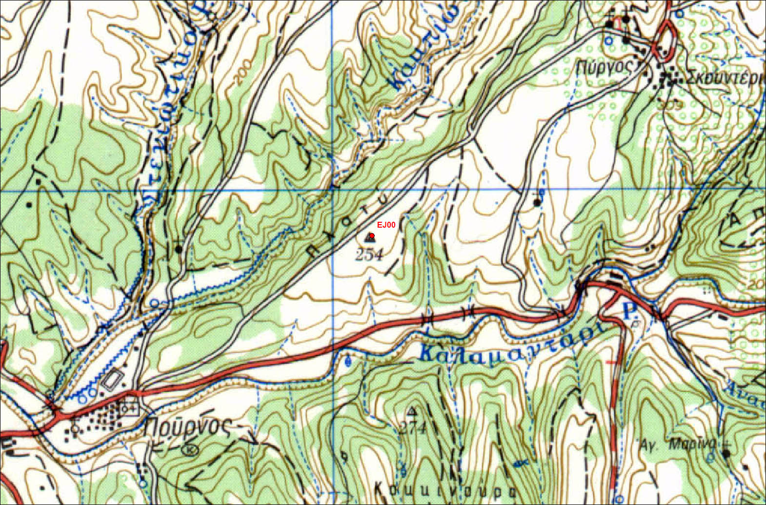
| EJ00 | Pournos | 353-aaa |
| WGS84 | ||
| 38° 31' 23'' N | 23° 47' 55'' E | 254 m |
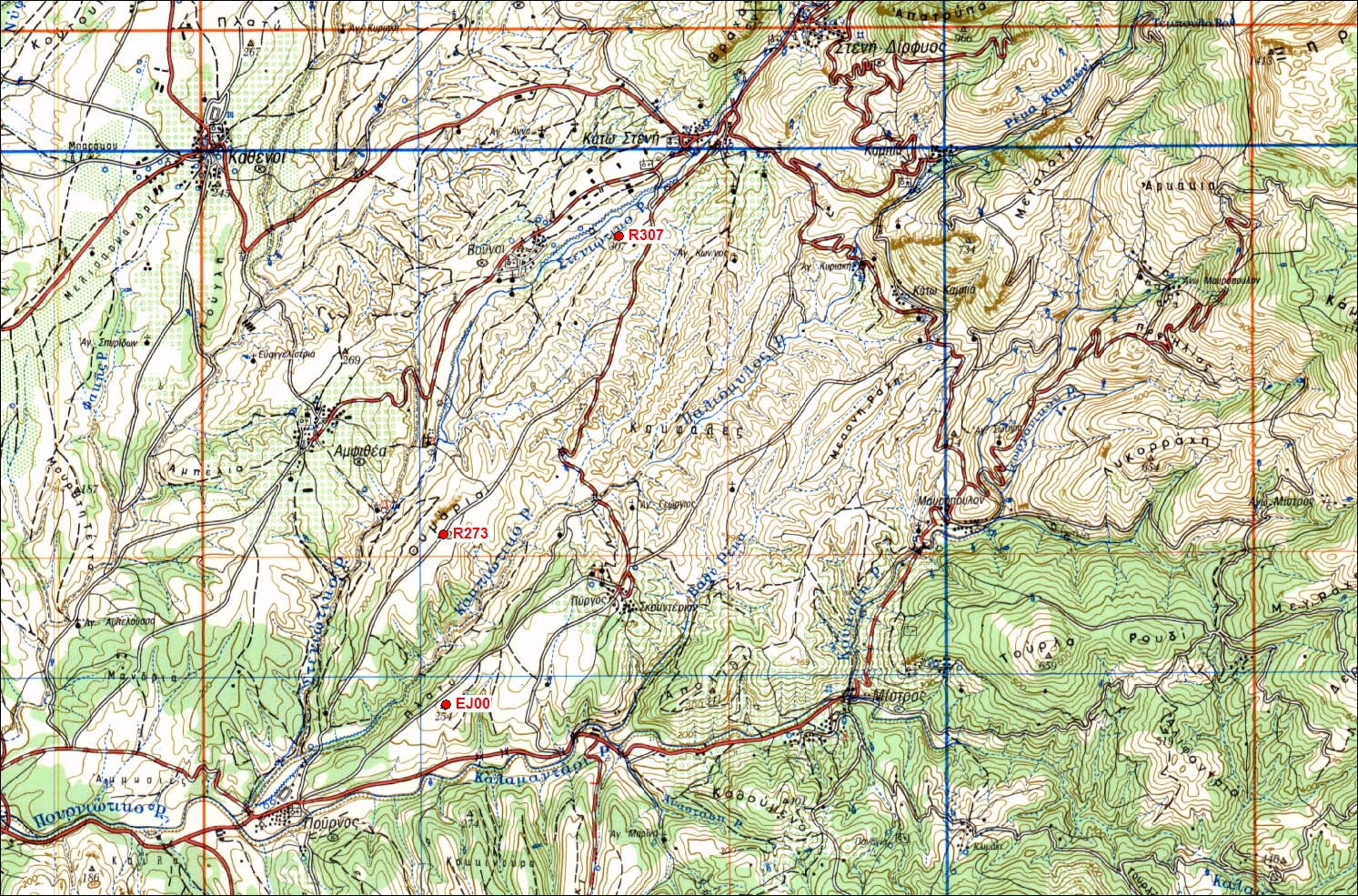
Carte: Steni Dirfios 1/50.000
| Point | Azimut et distance | Type de repère | Observations | |
|---|---|---|---|---|
| 353-aaa | N | m | Pilier | |
Accès:
Get to Pournos. Find panel towards Skounteri sourounding the village. 0.00 km: Turn left towards Skounteri. 0.25 Km: Ignore route on the left. Continue straight. 0.90 km: Ignore route on the right. Continue straight. 1.20 km: Ignore route on the right. Continue straight. 1.65 km: Park the car and walk up the hill. The pillar will be waiting for you !
 |
 |
Contacts:
Historique:
Mesures 1997
1997/10/06 16:10-23:59 0.189 IN07 Martinod/Collombet
1997/10/07 00:00-02:58 0.189 IN07
1997/10/07 06:12-23:59 0.115 OXF6 Martinod/Moine
1997/10/08 00:00-12:24 0.115 OXF6
1997/10/08 14:01-23:59 0.115 OXF6 Martinod/Moine
1997/10/09 00:00-13:02 0.115 OXF6
1997/10/09 14:25-23:59 0.115 OXF6 Martinod/Nercessian
1997/10/10 00:00-09:38 0.115 OXF6 Martinod/Nercessian antenne excentree d'environ 2mm vers l'Est par rapport au trou
Fichiers RINEX disponibles: