FICHE DESCRIPTIVE - RESEAU GPS Corinthe | ||
ordre 1
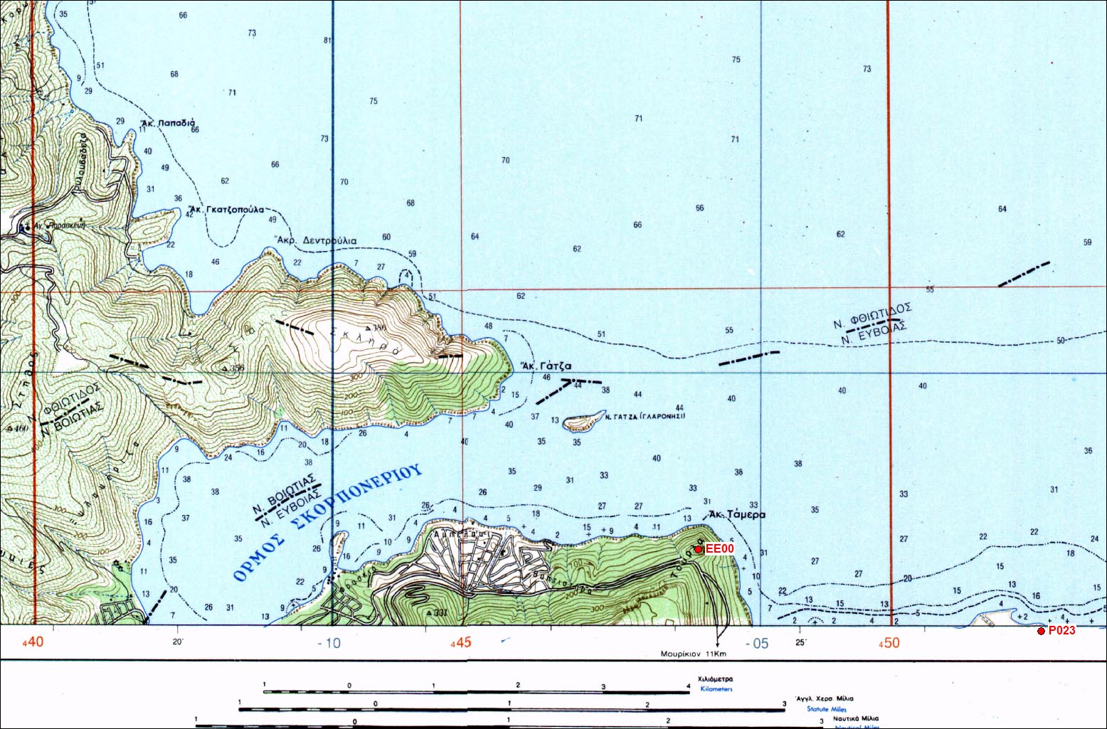
| EE00 | Skorponeri |
| WGS84 | ||
| 38° 30' 25'' N | 23° 24' 10'' E | m |
Carte: Larimna 1/50.000
| Point | Azimut et distance | Type de repère | Observations | |
|---|---|---|---|---|
| EE00 | N | m | Pilier | |
Accès:
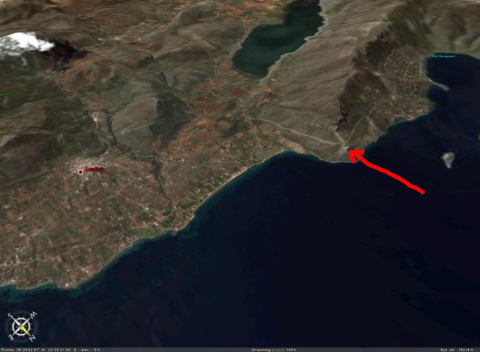
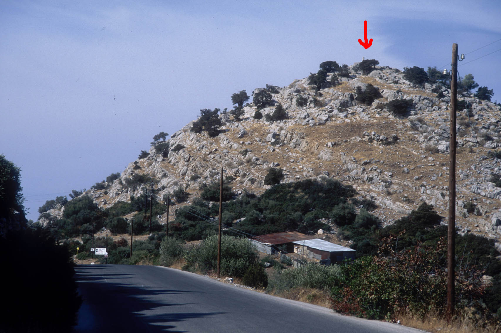
Get to village Mouriki. Follow road towards Skorponeri village. 0.0 km: The first intersection after Mouriki there is a panel towards "Paralia". Take road on the left towards Skorponeri. 2.2 km: Park here. Pillar on the right up the hill near a huge metallic cross. Around 15 min walking up. Not that easy but the view rewarding.
 |
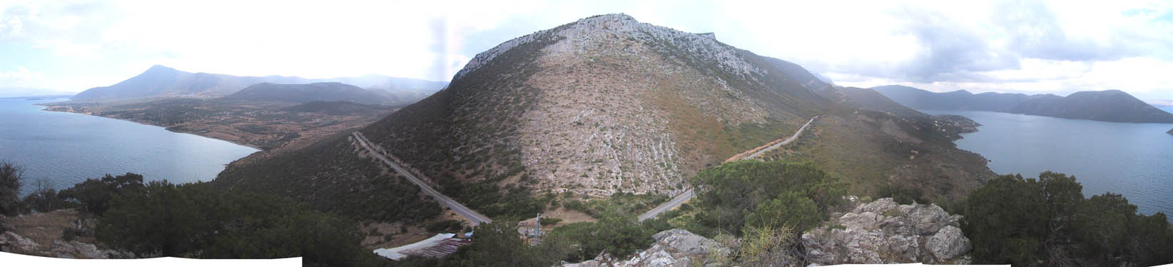 |
| Vue depuis le point (06/10/04) |
 |
 |
| 2 Octobre 1997 |
Contacts:
Historique:
Mesures 1997
1997/10/02 14:14-23:59 0.192 IN13 Briole
1997/10/03 00:00-23:59 0.192 IN13 personne
1997/10/04 00:00-07:33 0.192 IN13
1997/10/05 16:45-23:59 0.272 IN13 Collombet/Thanassis
1997/10/06 00:00-23:59 0.272 IN13 personne
1997/10/07 00:00-09:30 0.272 IN13
Fichiers RINEX disponibles: