FICHE DESCRIPTIVE - RESEAU GPS Corinthe | ||
ordre 1
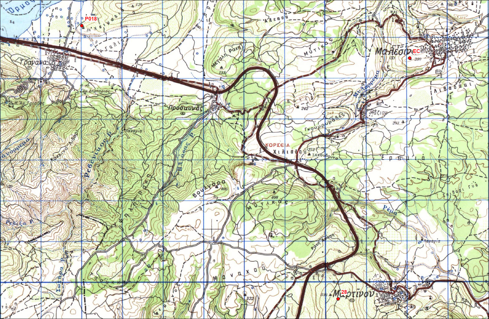
| EC00 | Malesina | 198-xxa |
| WGS84 | ||
| 38° 37' 11'' N | 23° 13' 20'' E | 230 m |
Carte: Livanatai 1/50.000
| Point | Azimut et distance | Type de repère | Observations | |
|---|---|---|---|---|
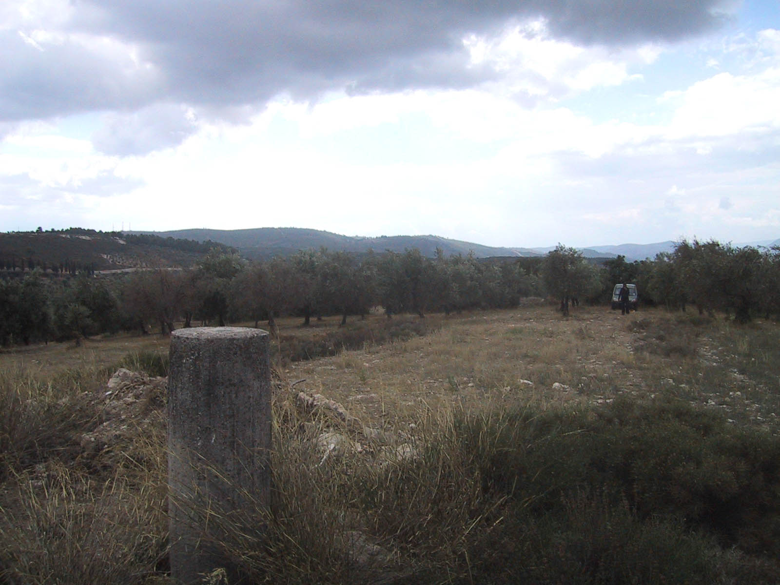
| 198-xxa | N | m | Pilier | |
| 198-047 | N | m | Pilier | P018 - Tragana |
Accès:
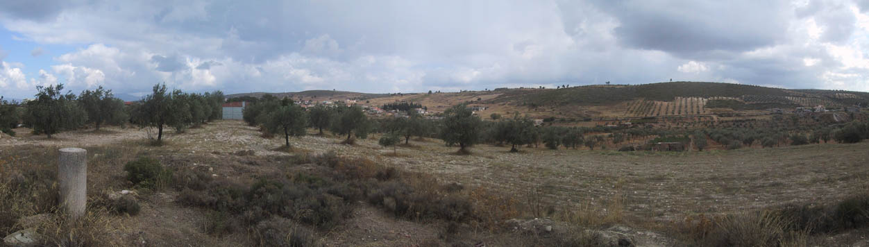
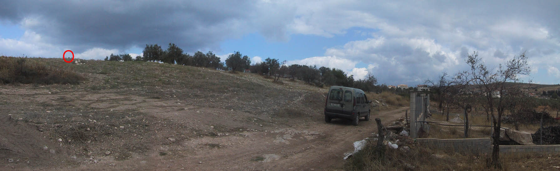
Get to malesina. Get to the main church of the village. 0.00 km: From the main church. Take a main big road called Anapafseos str. 0.20 Km: Turn right to a road called Ag. Paraskevis str. 0.50 km Turn left on Gave street. 0.55 km: Turn right on a very steep turn. 0.75 km: If you have a 4wd car. Turn left on a very bad road. 1.10 km: Pillar on the right up the hill through an olive field. If you don’t have a 4wd car you have to park at 0.75 km position and do the rest walking.
 |
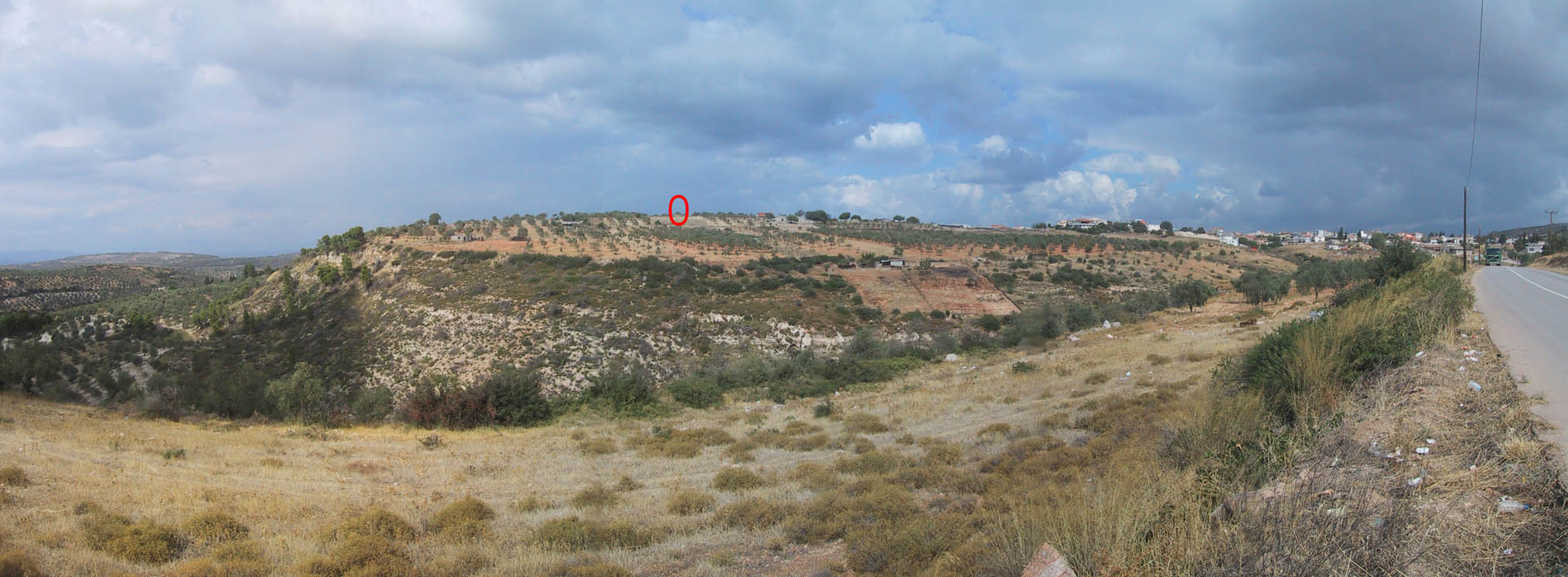 |
| From the road from Martino |
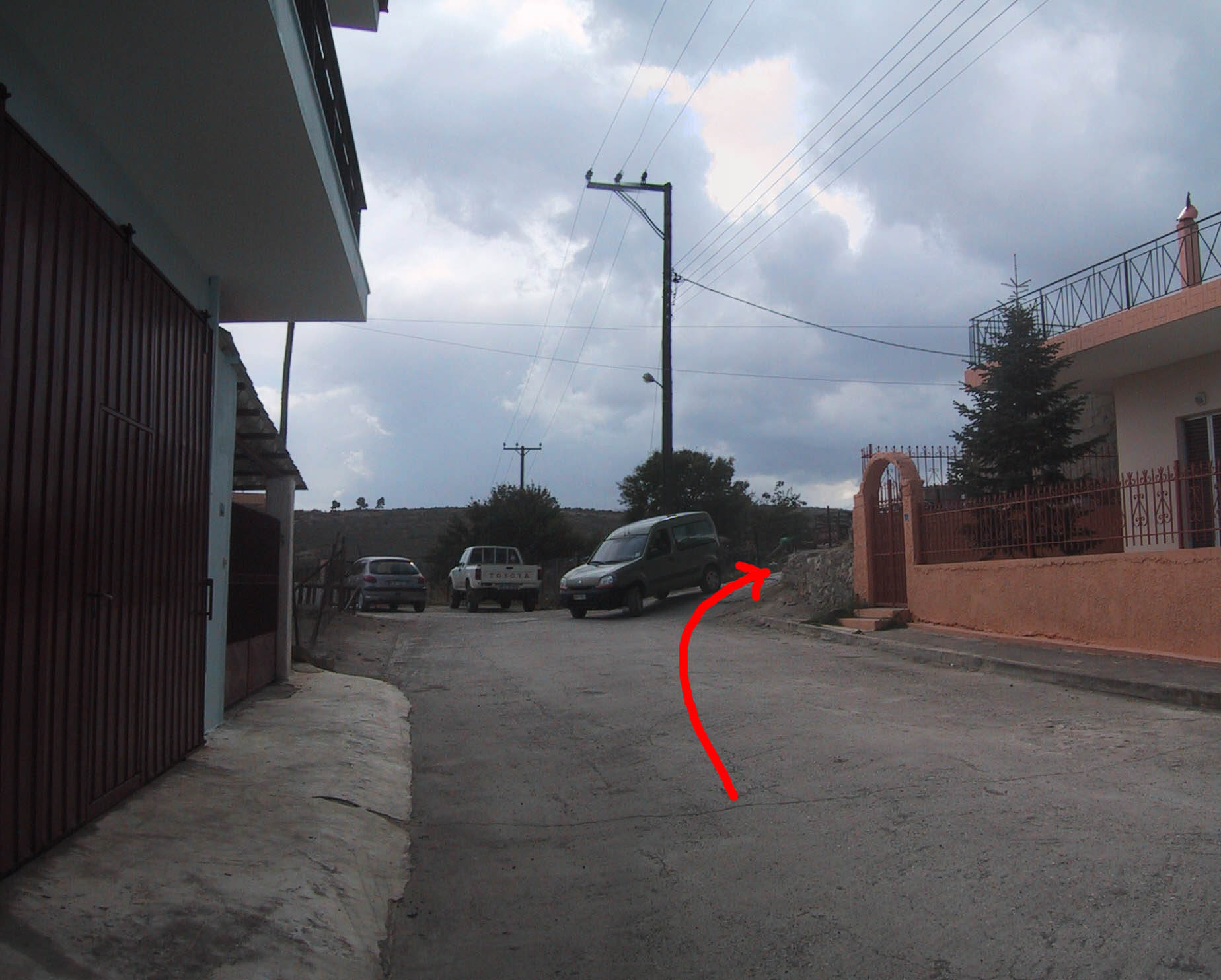 |
| Access to the point |
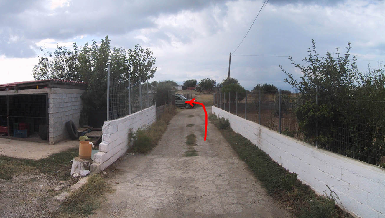 |
| Access to the point |
 |
 |
 |
| 6 October 2004 |
Contacts:
Historique:
Mesures 1997:
1997/10/03 06:40-09:36 0.193 OXF4 Clarke/Huc
1997/10/03 13:47-23:59 0.193 OXF4 Clarke/Huc
1997/10/04 15:40-09:30 0.193 OXF4
1997/10/06 14:35-23:59 0.203 OXF4
1997/10/07 00:00-07:41 0.192 OXF4
1997/10/08 15:43-23:59 0.192 OXF4
1997/10/09 00:00-05:25 0.192 OXF4
1997/10/10 16:09-23:59 0.195 OXF5
1997/10/11 00:00-06:14 0.195 OXF5
Fichiers RINEX disponibles: