FICHE DESCRIPTIVE - RESEAU GPS Corinthe | ||
|
|
|
ordre 1
| WGS84 |
| 38° 12' 34'' N | 23° 21' 18'' E | 640 m |
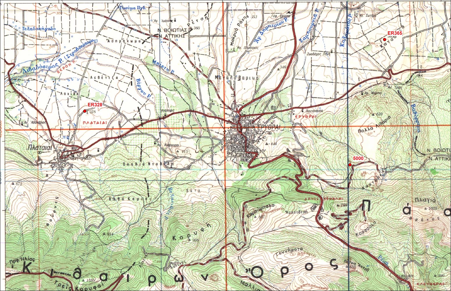
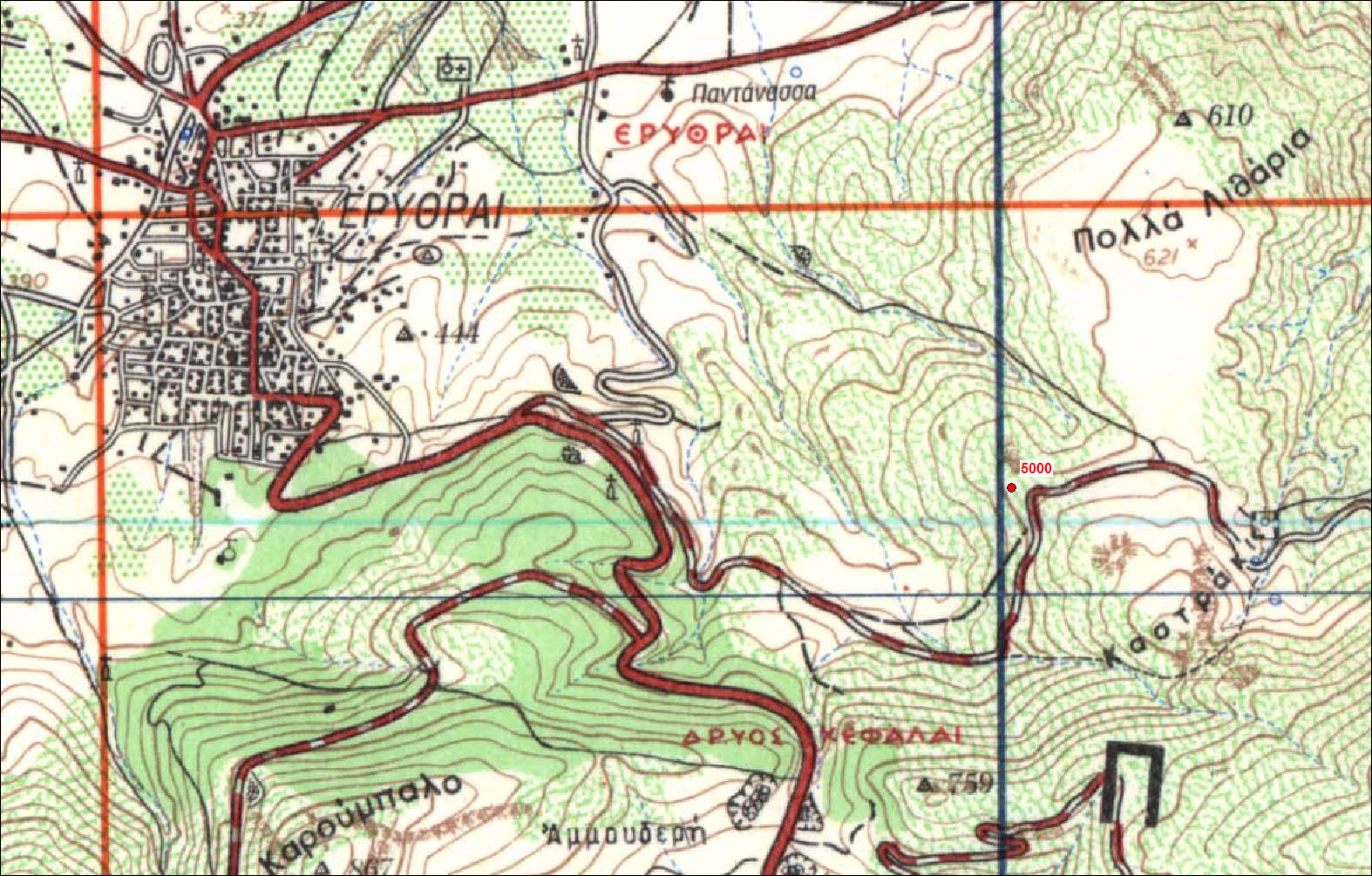
Carte: Erithrea 1/50.000
| Point | Azimut et distance | Type de repère | Observations |
|---|
| CG50 | N | m | Repère | |
| 106-099 | N | m | Pilier | P328 - Plataiai |
| 106-108 | N | m | Pilier | P365 - Katsoula |
| CG50-1 | N 45 | 6.58 m | Repère | Auxiliaire 1 |
| CG50-2 | N 155 | 7.21 m | Repère | Auxiliaire 2 |
| CG50-3 | N 280 | 4.81 m | Repère | Auxiliaire 3 |
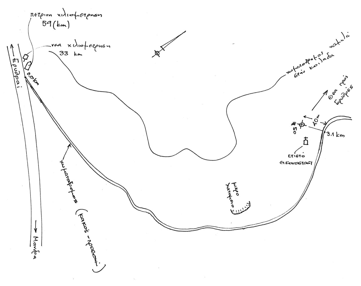
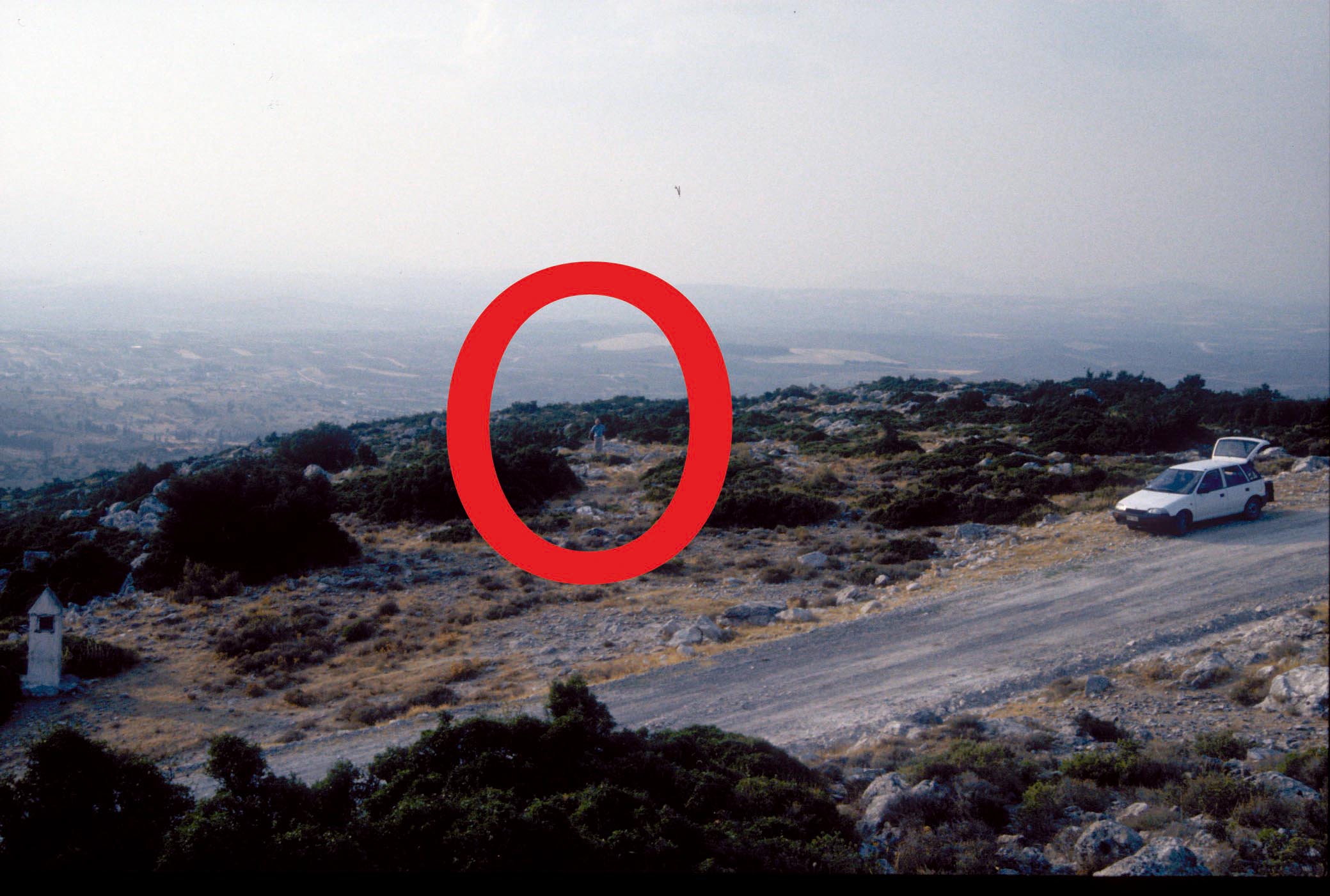
Accès:
Attention au vent. Bien caler le trepied. Attention aux animaux, cables sectionnes en 1997 (tortue ?).
Carte Erithrai
Toutes les cartes
 |
|
 |
|
 |
| 30 Septembre 1997 |
 |
| 30 Septembre 1997 |
 |
|
Historique:
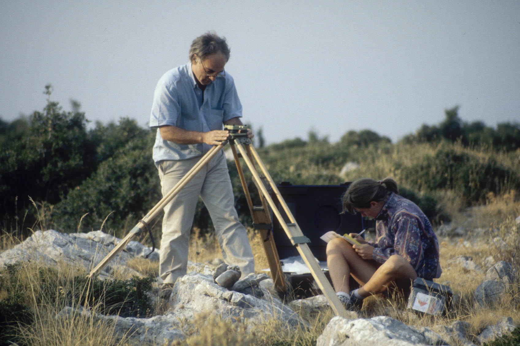
Mesures 1997:
1997/09/30 16:07-19:29 0.832 IN14 Nercessian/Collombet
1997/10/01 17:21-23:59 0.832 IN14 Nercessian/Collombet
1997/10/02 00:00-09:49 0.832 IN14 Nercessian/Collombet
1997/10/07 13:35-23:59 1.034 IN13 Nercessian/Collombet
1997/10/08 00:00-11:28 1.034 IN13 Nercessian/Collombet
1997/10/10 05:12-09:00 1.011 NTU1 Trimble Equipe NTUA
1997/10/10 14:51-23:59 1.060 IN14 Collombet/Moine
1997/10/11 00:00-06:37 1.060 IN14 STATION RETROUVEE DEBULLEE de 5mm vers N110 (voir cahier)
Fichiers RINEX disponibles:
| 2005 |
5000279a.05d.Z(1)
50002780.05d.Z(1)
5000277n.05d.Z(1)
5000276a.05d.Z(1)
50002750.05d.Z(1)
|
| 1997 |
5000283o.97d.Z(1)
5000283f.97d.Z(1)
5000281a.97d.Z(1)
5000280p.97d.Z(1)
|
| 1998 |
5000192k.98d.Z(1)
|