FICHE DESCRIPTIVE - RESEAU GPS Corinthe | ||
|
|
|
ordre 1
| WGS84 |
| 37° 47' 41'' N | 22° 56' 25'' E | 700 m |
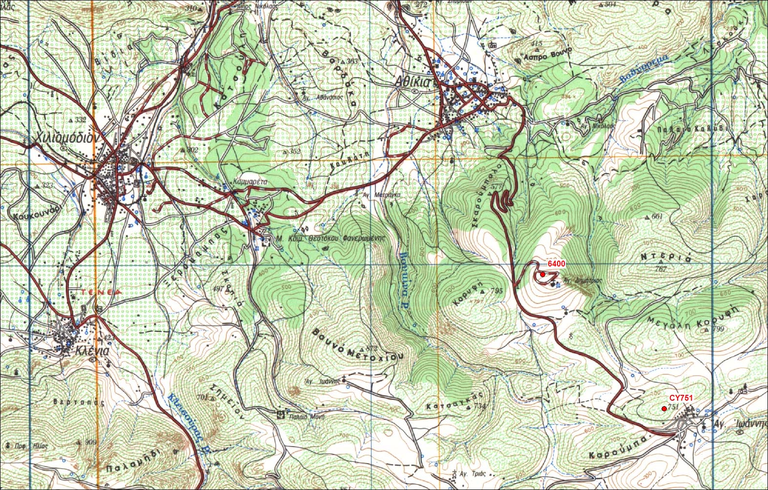
Carte: Korinthos 1/50.000
| Point | Azimut et distance | Type de repère | Observations |
|---|
| CG64 | N | m | | |
| CG64-1 | N | m | Repère | Auxiliaire 1 |
| CG64-2 | N | m | Repère | Auxiliaire 2 |
| CG64-3 | N | m | Repère | Auxiliaire 3 |
| CY577 | N | m | Pilier | CY577 - Athikia |
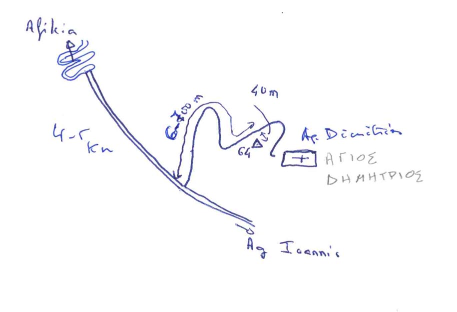
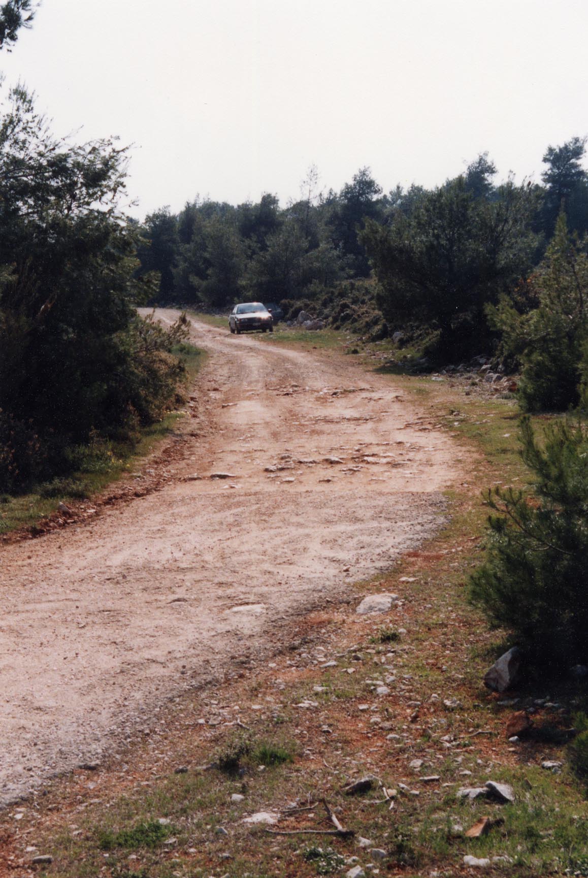
Accès:
Point aussi appelé parfois CY00
 |
|
 |
|
 |
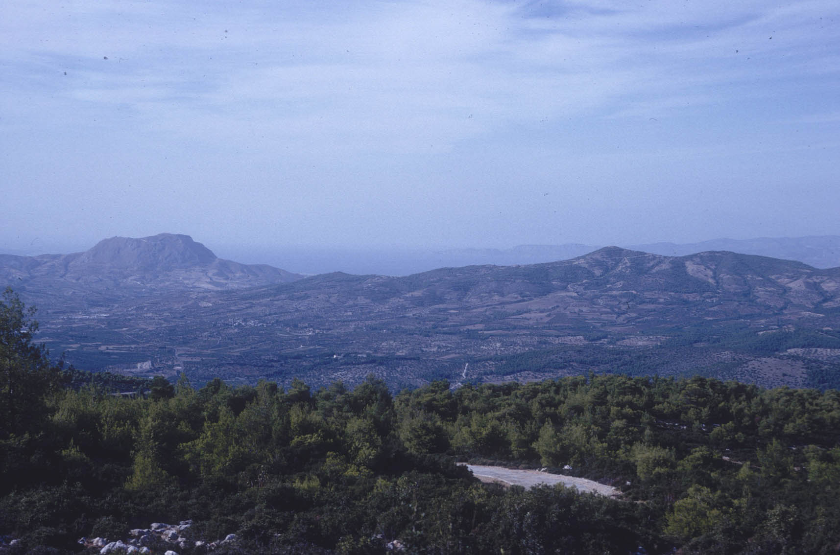
| Photo 1993 |
 |
| Photo 1993 |
 |
| 24 Septembre 1994 |
 |
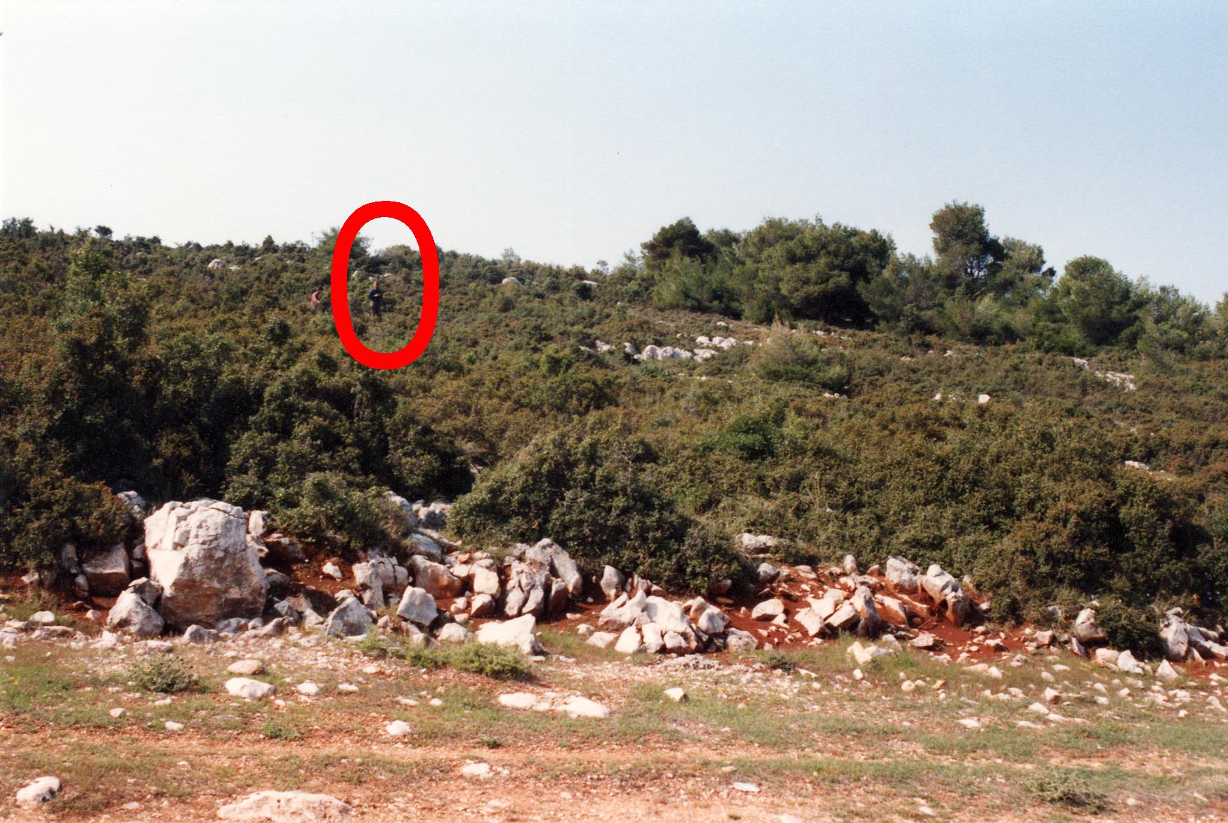
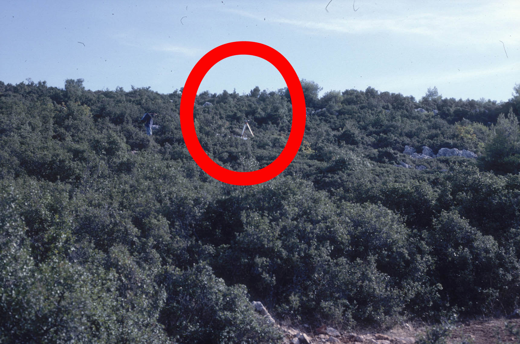
| Vue du point (24/09/94) |
Historique:
1994/09/24 12:32-14:09 1.052o U3-366 Briole/Cattin (samedi)


1997/10/03 07:03-23:59 0.839 OBS3 Psaraftis/Gaulon
1997/10/04 00:00-23:59 0.839 OBS3   long gap !
1997/10/05 00:00-07:54 0.839 OBS3
1997/10/07 09:47-23:59 0.723 OBS3 trepied deplace ?
1997/10/08 00:00-11:47 0.723 OBS3 trepied deplace ?
1997/10/08 12:08-23:59 0.720 OBS3
1997/10/09 00:00-23:59 0.720 OBS3
1997/10/10 00:00-07:15 0.720 OBS3
Fichiers RINEX disponibles:
| 1997 |
6400276h.97d.Z(1)
6400277a.97d.Z(1)
6400278a.97d.Z(1)
6400280j.97d.Z(1)
|