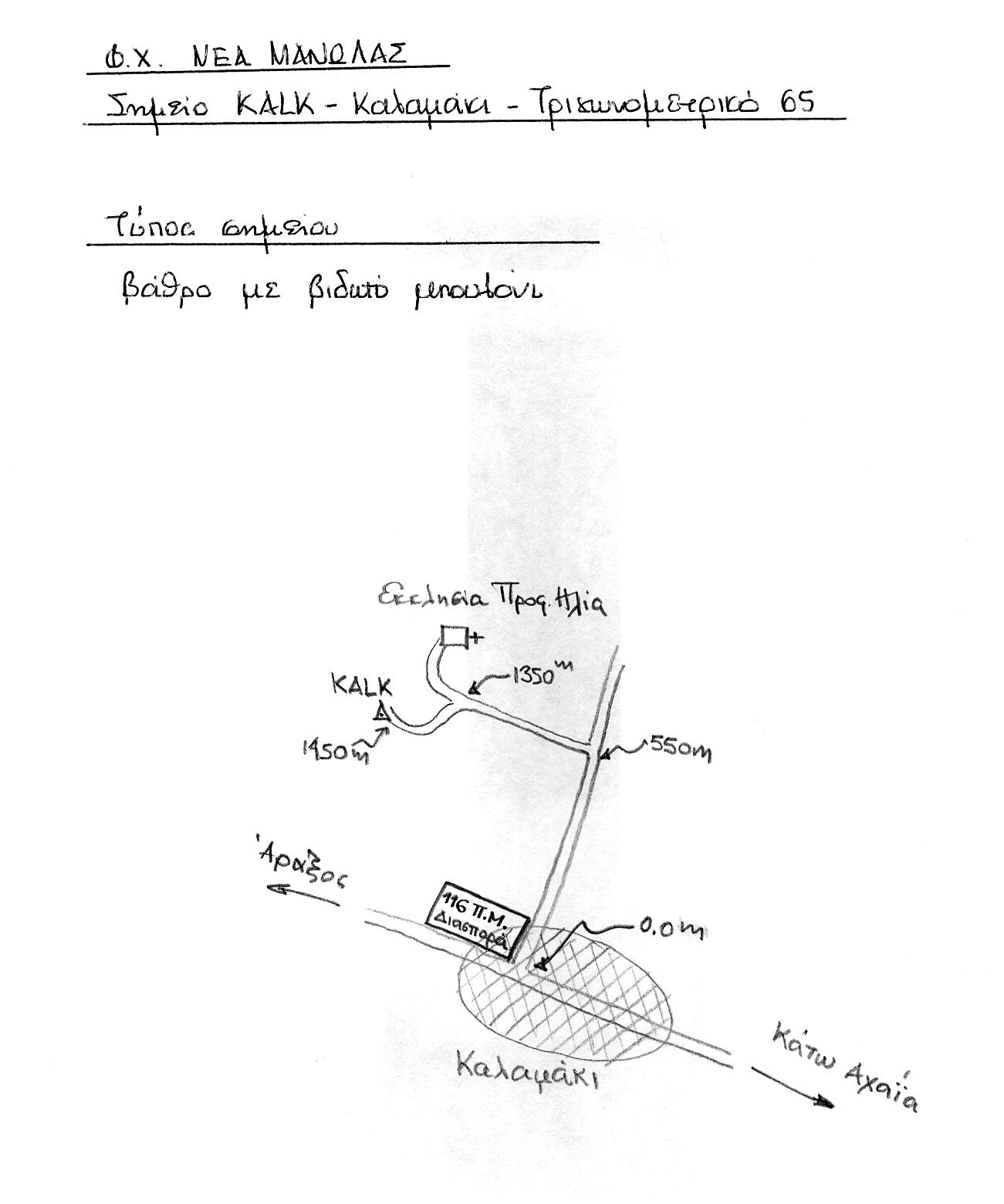
FICHE DESCRIPTIVE - RESEAU GPS Corinthe | ||
ordre 1
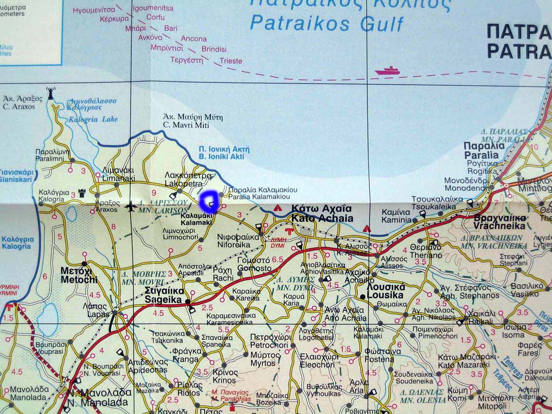
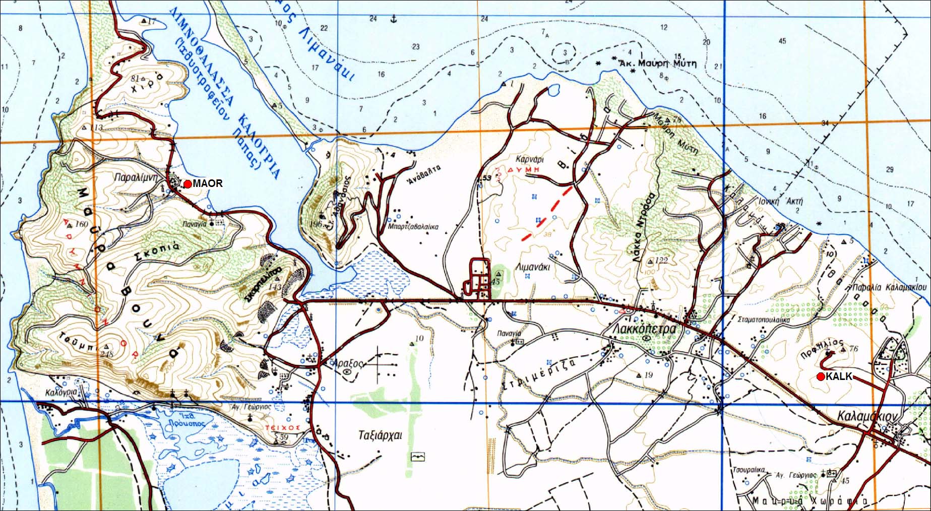
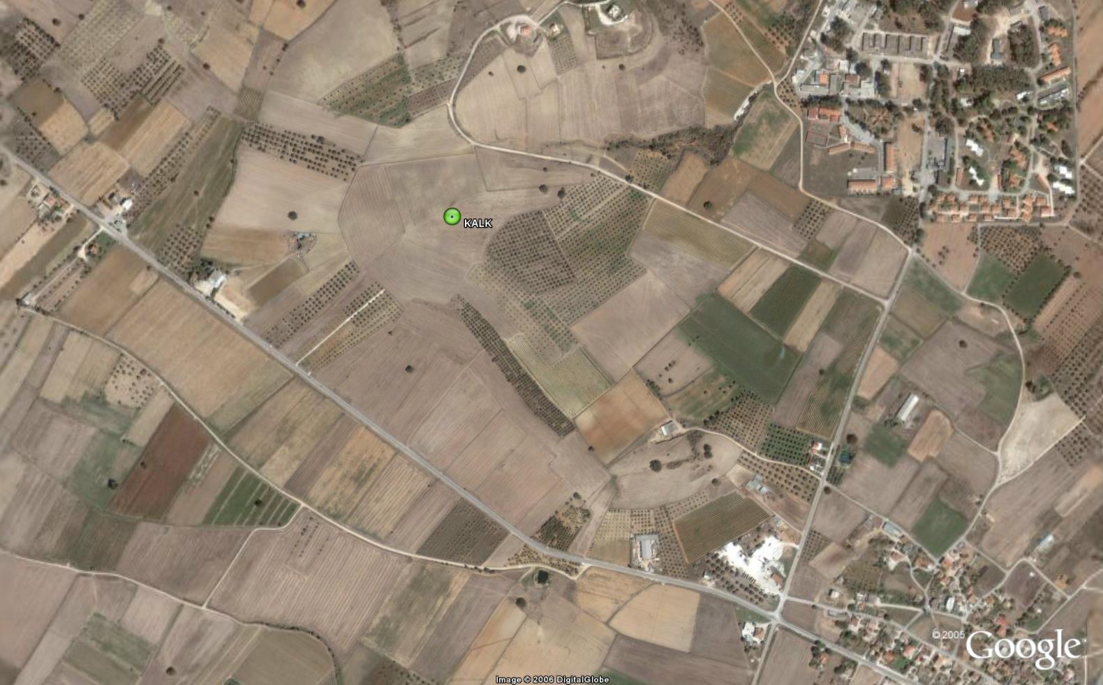
| KALK | Kalamaki |
| WGS84 | ||
| 38° 09' 51'' N | 21° 28' 59'' E | 77 m |
Carte: Nea Manolas 1/50.000
| Point | Azimut et distance | Type de repère | Observations | |
|---|---|---|---|---|
| KALK | N | m | Pilier (cote 77) | Modifié en 1998 |
Accès:
Coordonnées UTM
542340.0496 4224263.571 107
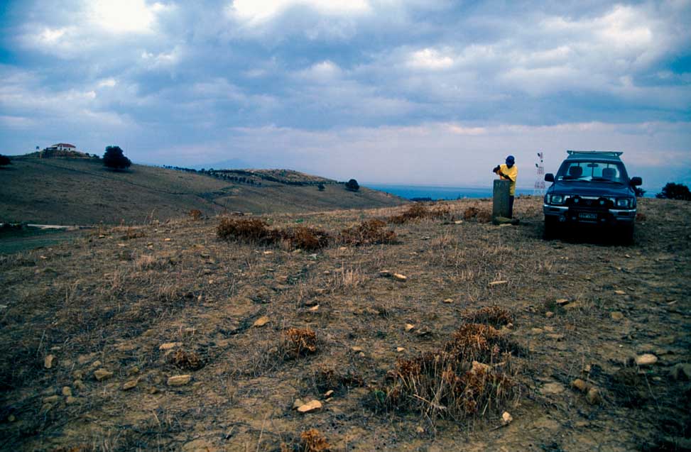 |
| Modification du pilier en 1998 |
 |
 |
 |
 |
Contacts:
Historique:
Fichiers RINEX disponibles: