FICHE DESCRIPTIVE - RESEAU GPS Corinthe | ||
|
|
|
ordre 1
| WGS84 |
| 38° 28' 59'' N | 21° 17' 18'' E | m |
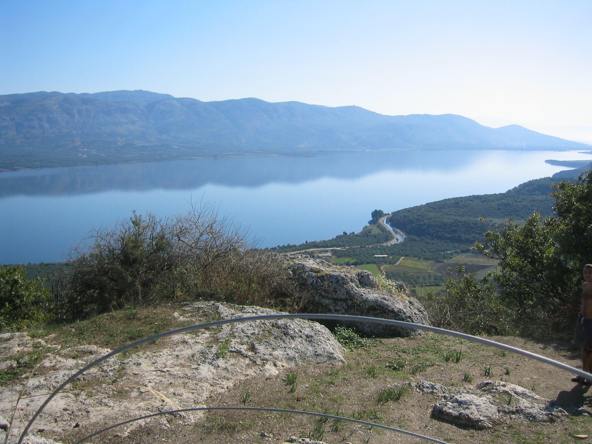
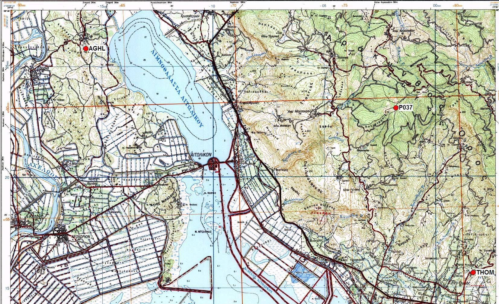
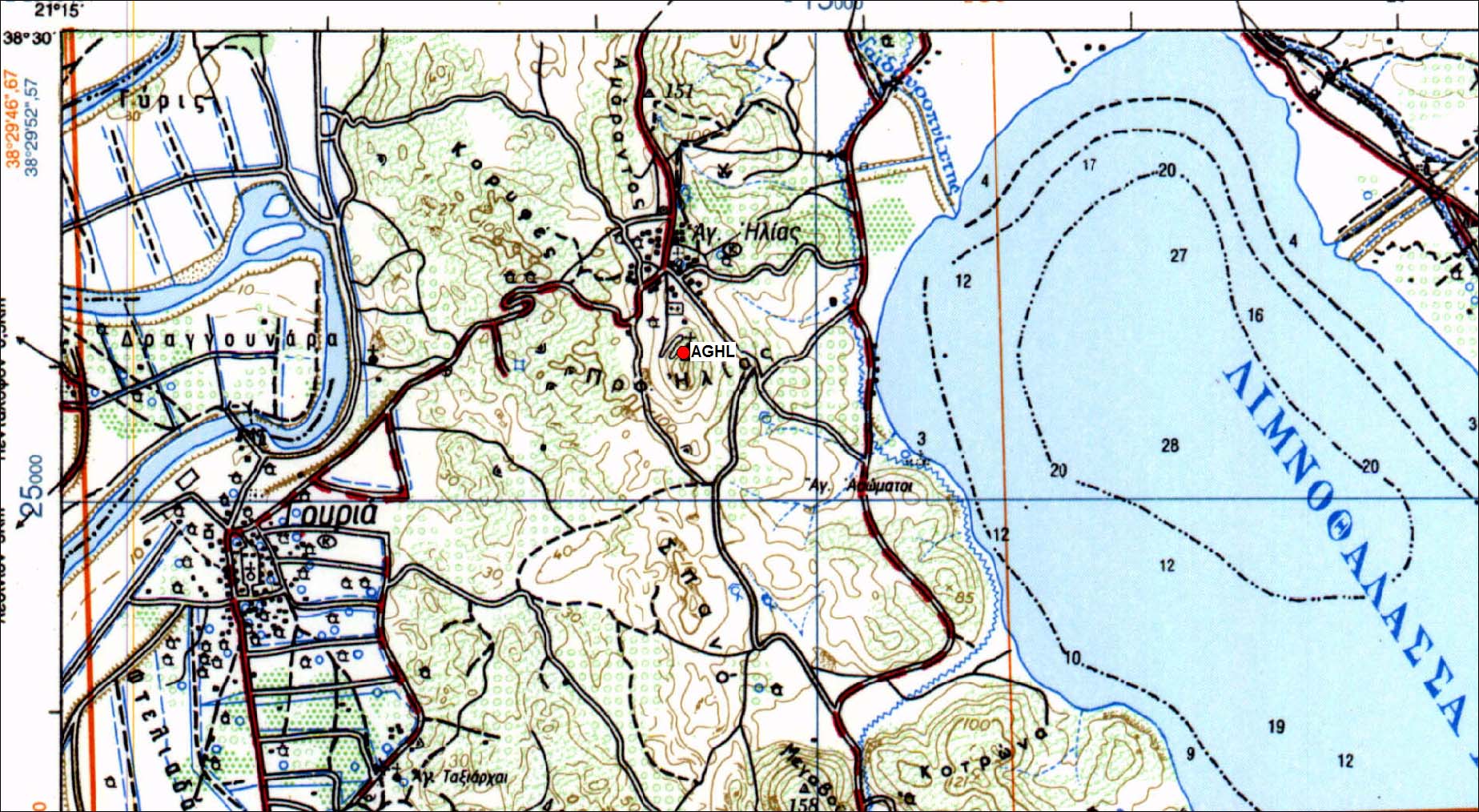
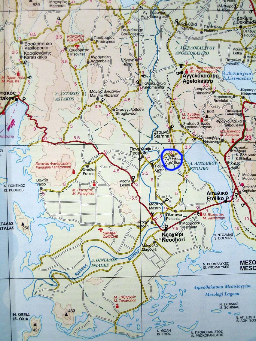
Carte: Mesolongion 1/50.000
| Point | Azimut et distance | Type de repère | Observations |
|---|
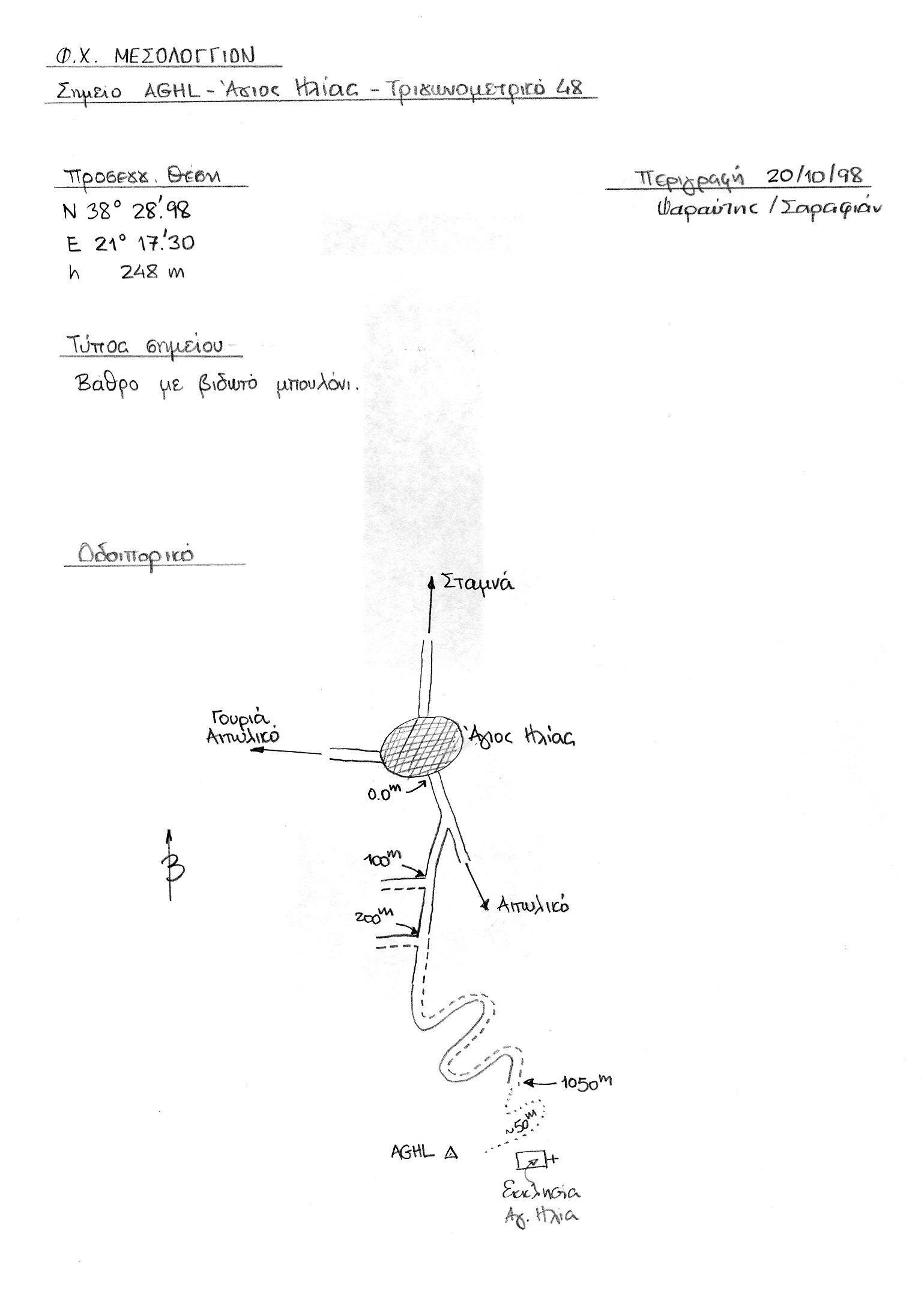
| AGHL | N | m | Pilier | Centrage forcé installé en 1998 |
Accès:
Coordonnées UTM
AGHL 525154.6376 4259457.688
Coord ITRF 2008
4658298.2000 1815129.4300 3947746.3600
 |
| AGHL 13 Octobre 2003 |
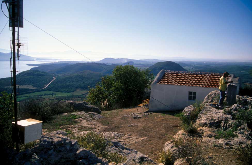 |
| Modification du pilier en 1998 |
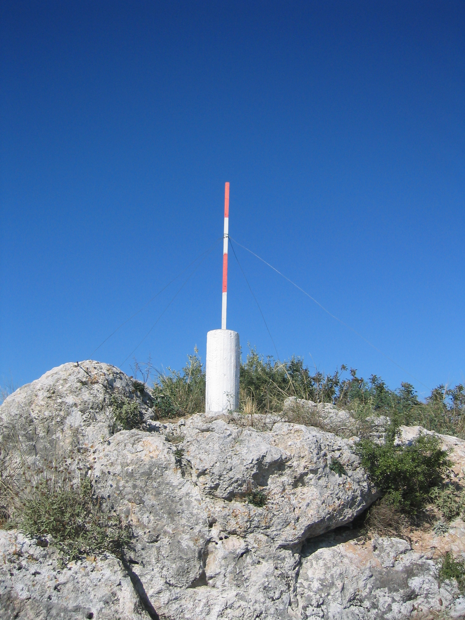 |
| Plier AGHL |
 |
|
 |
|
 |
|
 |
|
 |
|
Historique:
Sélectionné en 1998
Mesuré en 2003
Fichiers RINEX disponibles:
| 2010 |
aghl261m.10d.Z(1)
aghl262a.10d.Z(1)
aghl263a.10d.Z(1)
aghl264a.10d.Z(1)
|