FICHE DESCRIPTIVE - RESEAU GPS Corinthe | ||
ordre 1
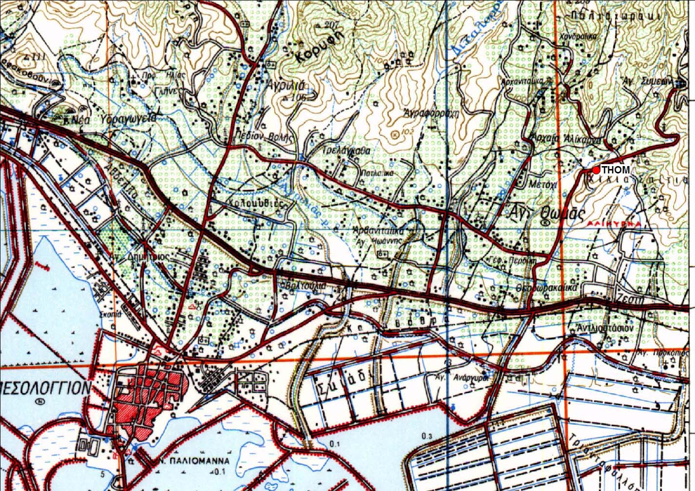
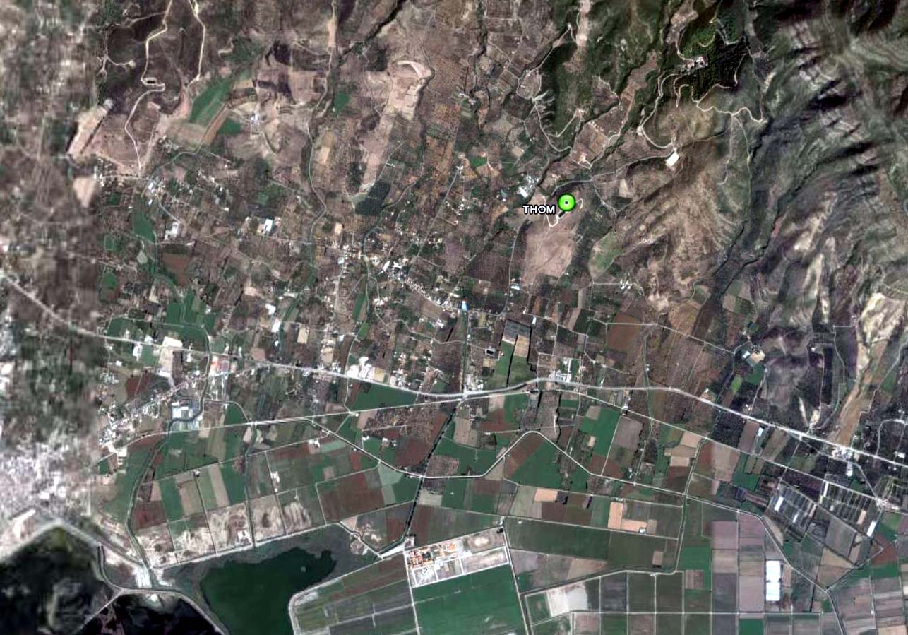
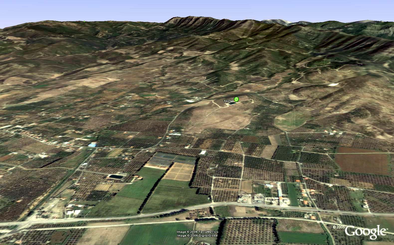
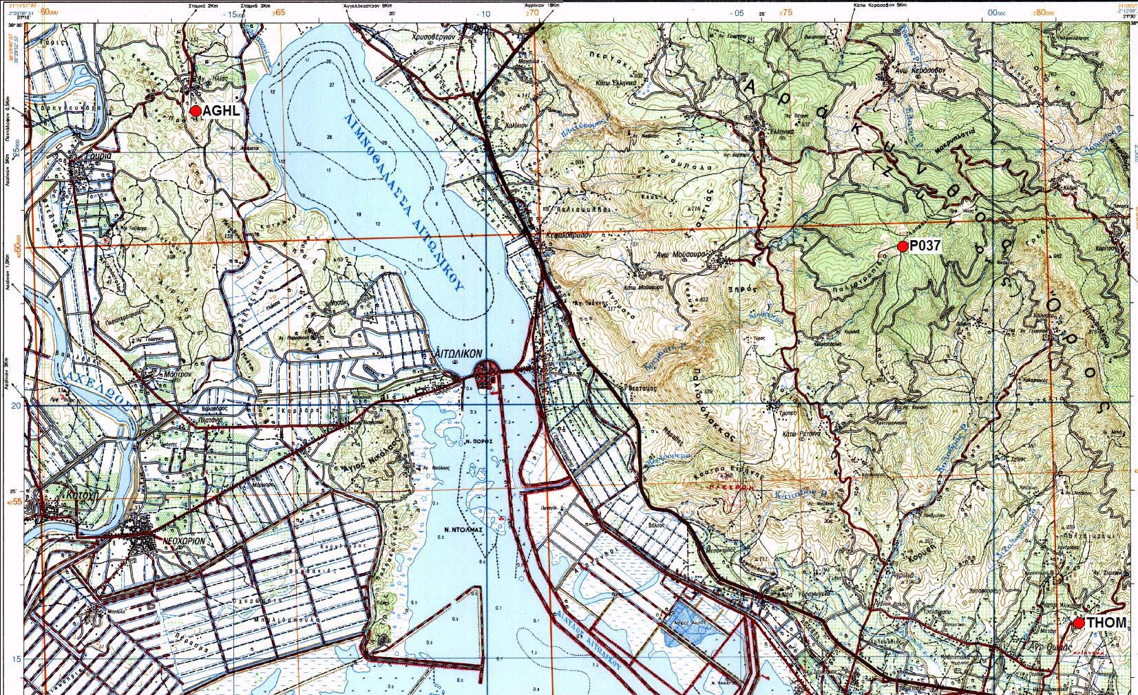
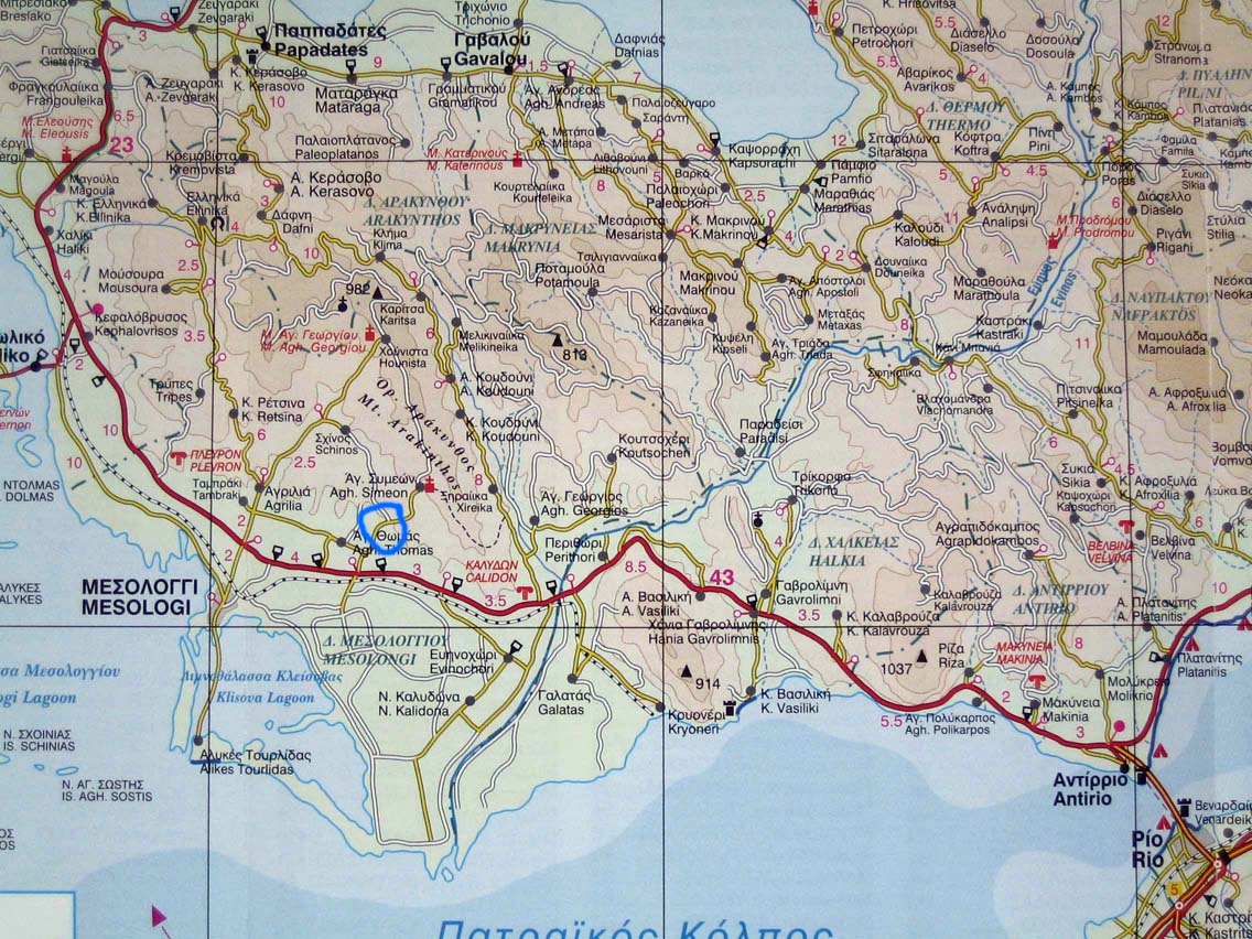
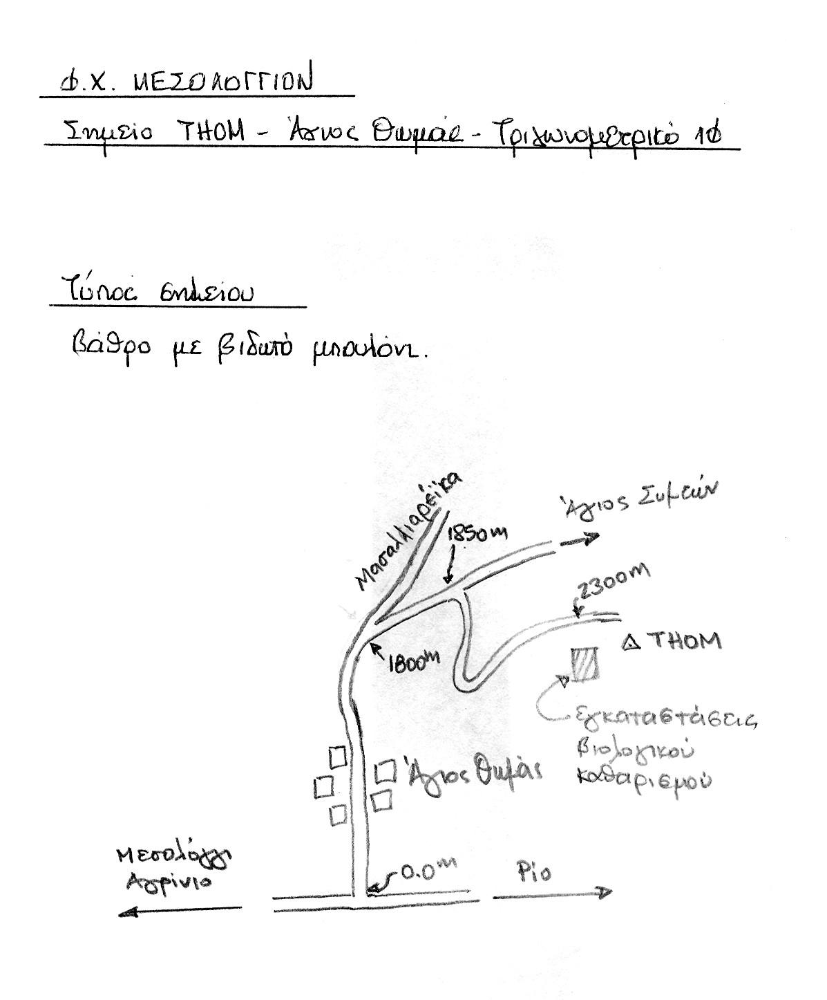
| THOM | Agios Thomas |
| WGS84 | ||
| 38° 23' 31'' N | 21° 29' 16'' E | m |
Carte: Mesolongion 1/50.000
| Point | Azimut et distance | Type de repère | Observations | |
|---|---|---|---|---|
| THOM | N | m | Pilier | |
Accès:
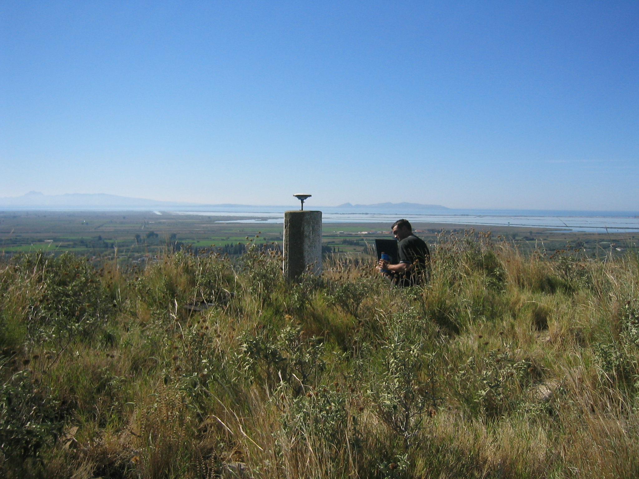 |
| THOM 12 Octobre 2003 |
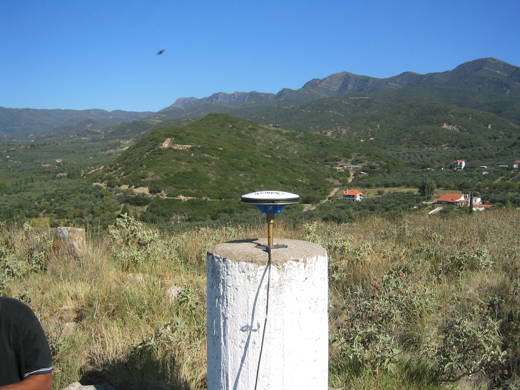 |
| THOM 12 Octobre 2003 |
 |
 |
 |
 |
 |
 |
Contacts:
Historique:
Fichiers RINEX disponibles:
| 2010 | thom261h.10d.Z(1) thom262a.10d.Z(1) thom263a.10d.Z(1) thom265q.10d.Z(1) thom266a.10d.Z(1) |
| (1) Division Technique de l'INSU | charade@dt.insu.cnrs.fr |